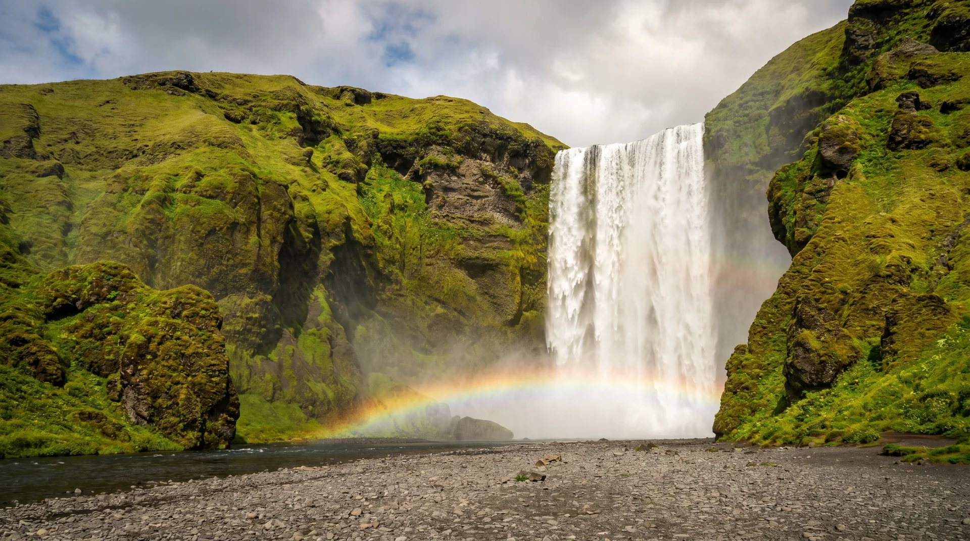
Skógafoss
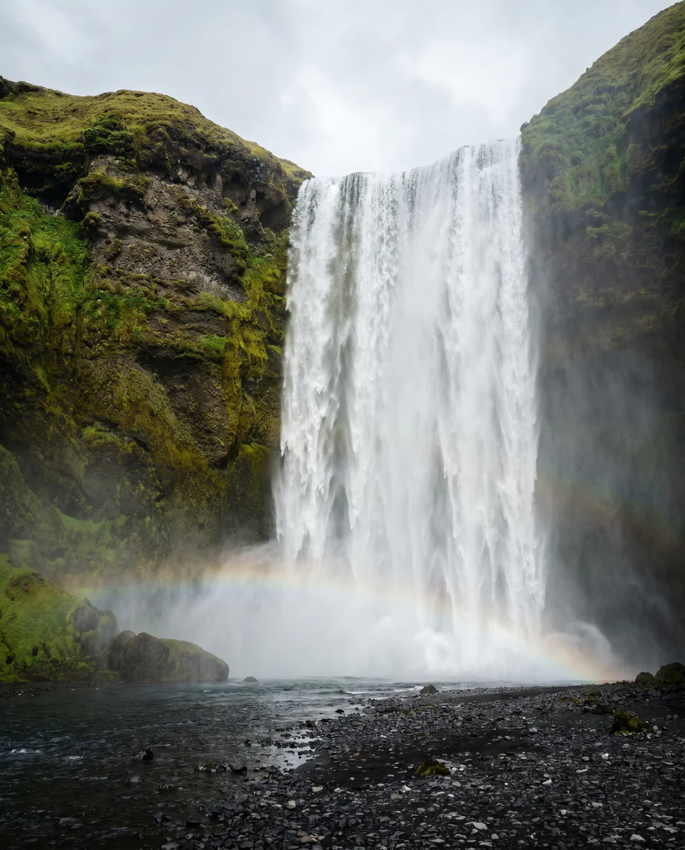
60 metres of perfectly rectangular curtain, dropping onto a flat black-sand basin. Walk to the foot and feel the spray; climb the 527 steps for the view that opens to the sea.
Why this place matters.
Skógafoss falls over the line of Iceland's prehistoric coastline. Behind it, the Skógá river drops through 23 more waterfalls on its way down from the highlands — a hidden hike that almost nobody does.
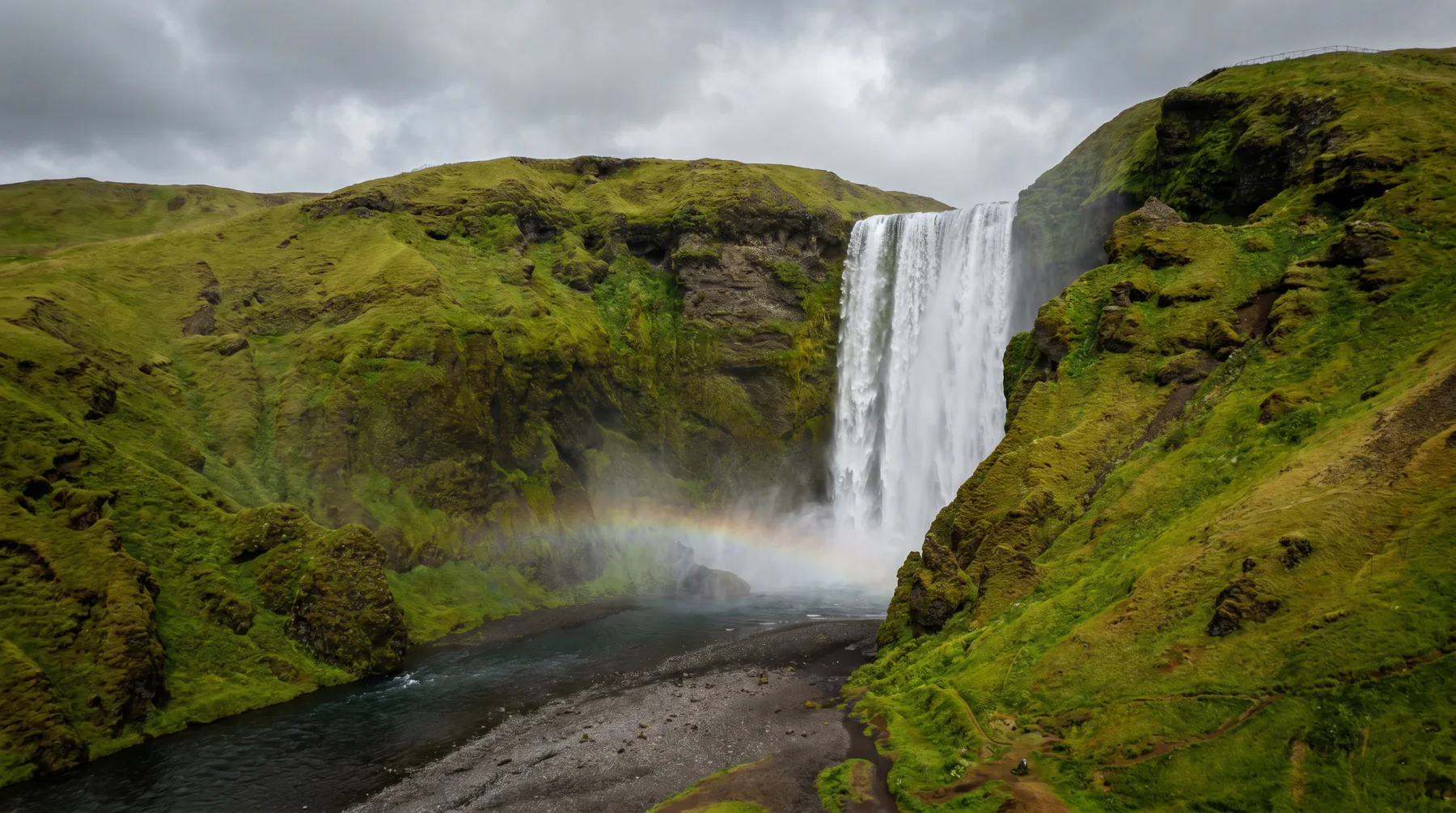
The base is wide and flat — you can walk to within 30 metres of the curtain and stand in the spray. The 527-step climb to the top opens onto a viewing platform, and from there a trail follows the Skógá river upstream past the other 23 falls, eventually crossing the Fimmvörðuháls pass to Þórsmörk. Most travelers stop at the base. The ones who climb the steps see what almost nobody else does.
South Coast · 30 km east of Seljalandsfoss.
Right on Route 1. The natural midday stop between RVK and Vík.
Worth visiting — read the fine print.
Honest, not cynical. These are the things returning visitors tell first-timers.
The spray reaches the parking lot on south wind days. Don't bring a 'briefly look at the falls' attitude — you commit, or you stay distant.
Sun behind, spray in front. Best 9am – noon in summer. Twin rainbow visible on the right conditions.
Counted them. Hard climb but the view opens to the sea. Microspikes useful in winter — the steps ice up.
From the top, trail follows the Skógá river. 8 km RT to the highlands edge, all of it pretty. Almost nobody does it.
Before 10 or after 4 the base is dramatically quieter. Sunrise in summer is empty.
Turf houses + transport museum + crashed DC-3 nearby (Sólheimasandur). Decent rainy-day combo.
When the place is itself.
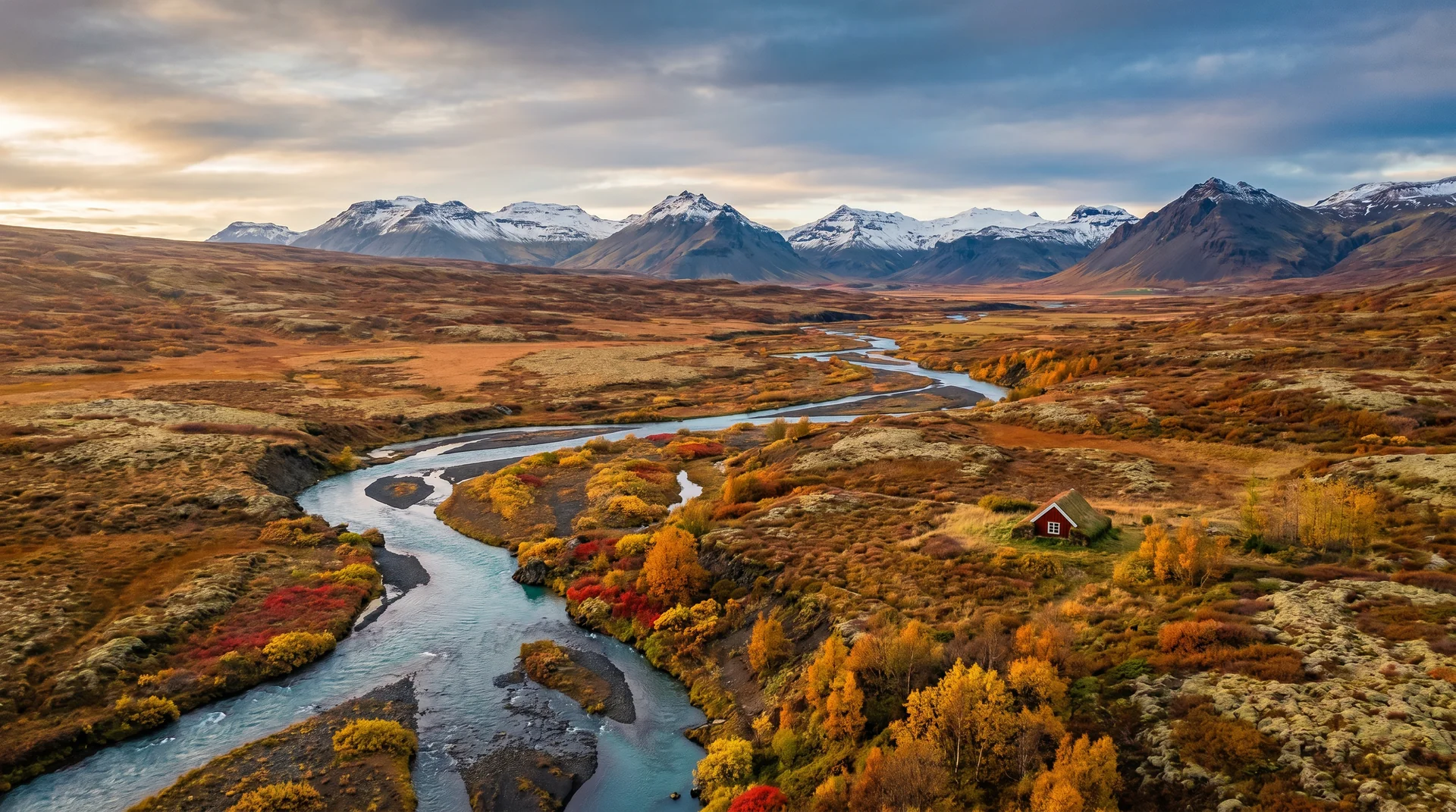
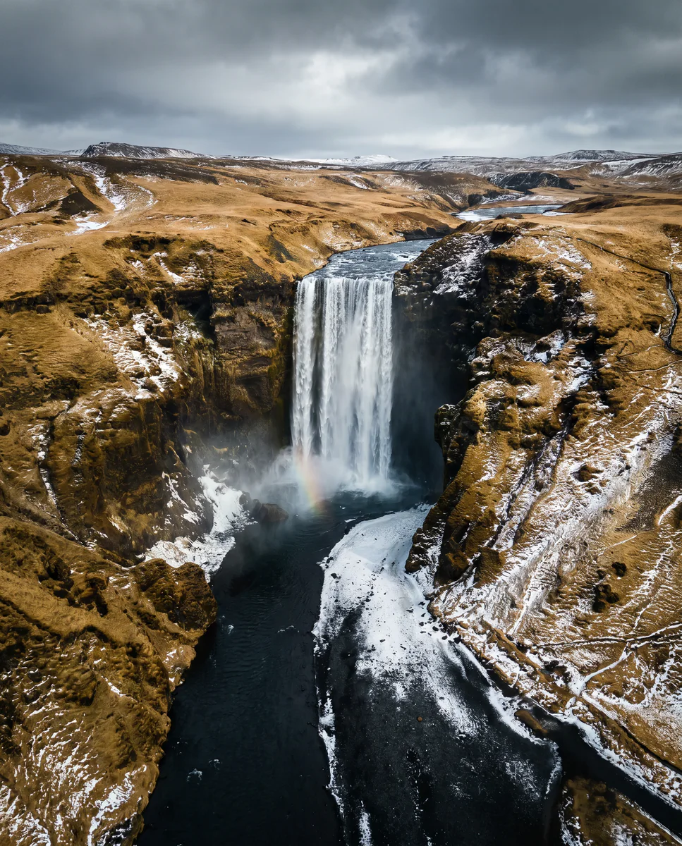
Year-round. Summer brings highest spray volume and best rainbows; winter ices the edges; September shoulder is photographically the sweet spot.
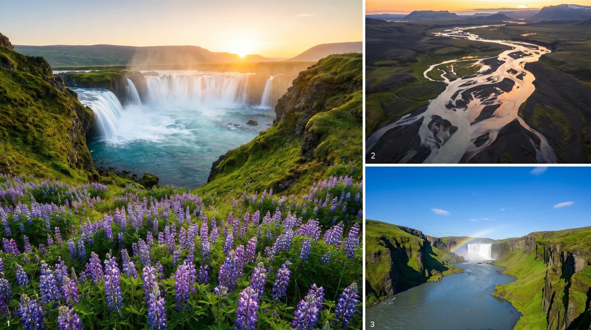
Light, shaped by ice.
Sun behind, spray in front. Polarizer rotated wrong kills the rainbow — test before committing.
Tripod + 10-stop ND. Wind buffets the tripod — weight it down with the camera bag.
527 steps up. Composition opens to the south coast and the sea. Sunset light is strong here.
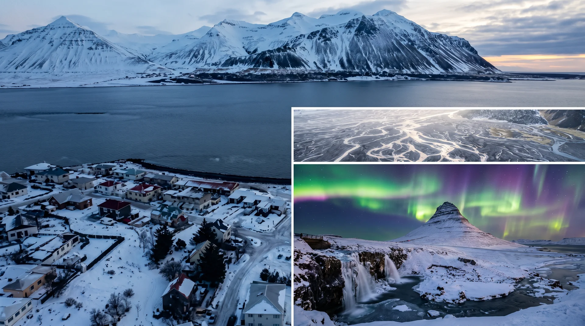
Jan – Mar. Black-and-white processing works well — the basin frame stays geometric.
Getting there, calmly.
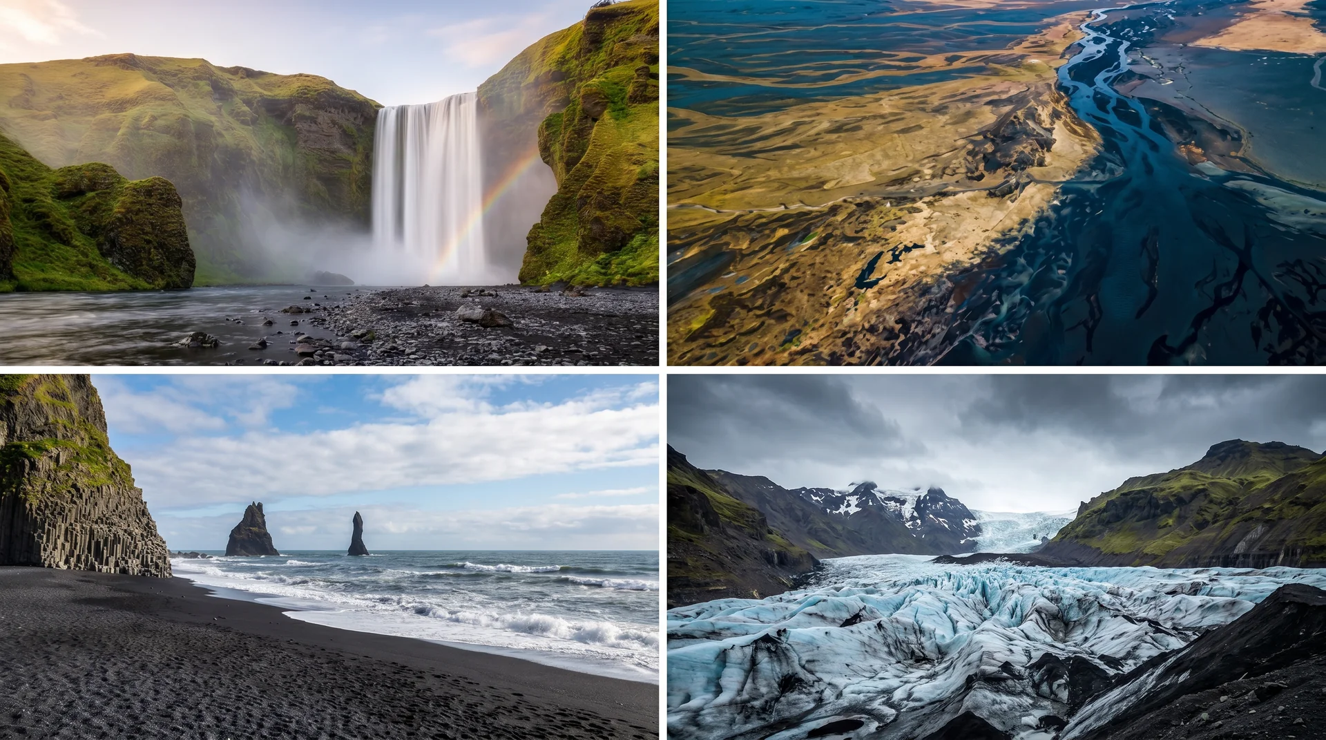
The place, four ways.
Within an hour.
- SeljalandsfossWalk-behind cascade
- SólheimajökullGlacier tongue · easy walk-up
- DC-3 wreckCrashed plane on black sand
- VíkSouth coast village + last fuel
- ReynisfjaraBlack sand + basalt columns
It lives on these routes.
Read this place differently.
What the place is doing right now.
Make Skógafoss part of your expedition.
Open it inside the Explorer to see it in context with terrain, season, and conditions — or plan a route that passes through.