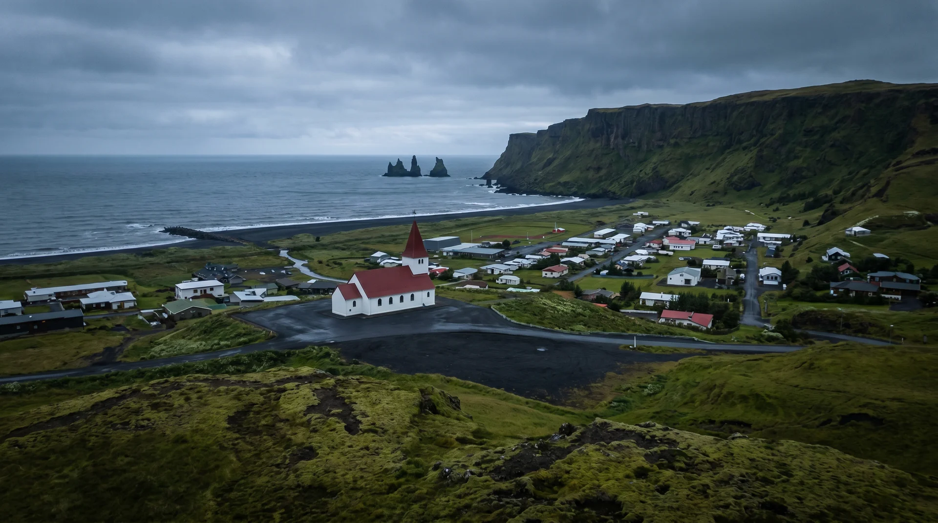
Vík í Mýrdal
Iceland's southernmost village — 350 people, one fuel station, a red-roofed church on a hill, and the last services before the long lava-and-sand drive to Skaftafell.
Why this place matters.
Vík sits under Mýrdalsjökull glacier — and under the Katla volcano below the ice. The village exists because of a single sheltered bay on the most exposed coast in Iceland; it functions as the natural overnight stop between Reykjavík and the Vatnajökull region.
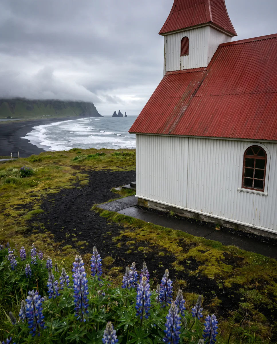
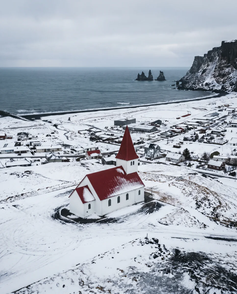
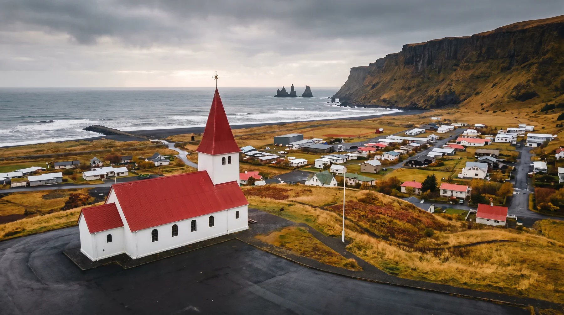
Most travelers stay one night, fuel up, eat at the Soup Co. or Berg, and continue east in the morning. The red-roofed Reyniskirkja church on the hill above the village is the iconic shot. If Katla erupts beneath the glacier, the official evacuation plan involves running to that church — the high ground.
South Coast · the natural midpoint.
Last fuel before the 200-km Skeiðarársandur. The hinge of any Ring Road trip.
Worth visiting — read the fine print.
Honest, not cynical. These are the things returning visitors tell first-timers.
After Vík the next reliable fuel is Kirkjubæjarklaustur (75 km east). Top off, always.
Three hotels and a few guesthouses. Summer requires booking weeks ahead. Hotel Kría is the newest; Icelandair Hótel Vík the largest.
The valley channels wind. 20 m/s common in autumn. Walking from hotel to car can be a struggle.
Red roof, white walls, on a green hill, with a glacier behind. Drive up Reynisfjall (or hike 20 min) for the shot.
Active subglacial volcano. The town's evacuation plan involves the church on the high ground. Not a daily concern, but real.
Lamb soup in a bread bowl. Fast queue, big portions. Berg Restaurant is the dinner upgrade.
When the place is itself.
Year-round. Summer is busy and bright; winter offers the most reliable South Coast lodging — and proximity to ice caves at the Jökulsárlón end.
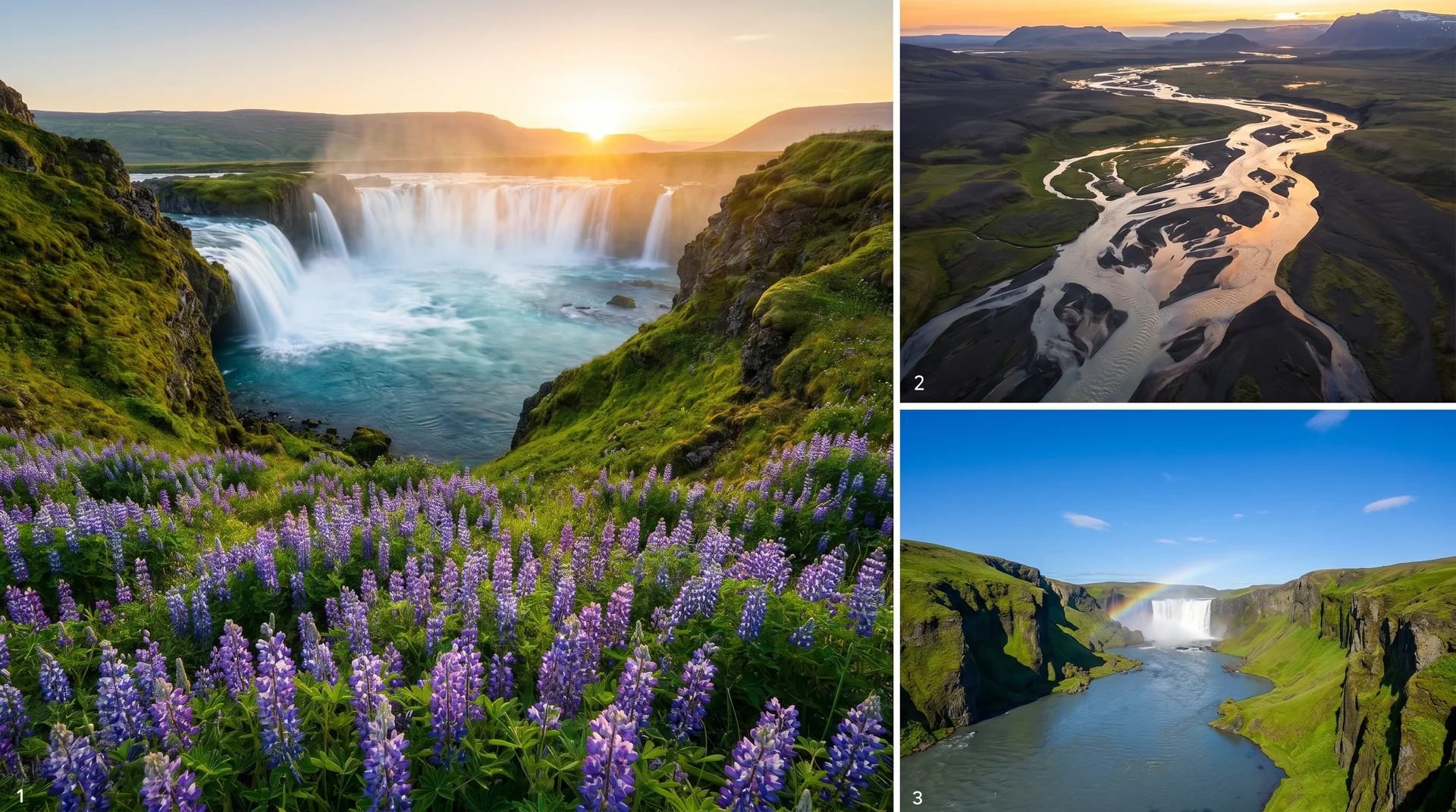
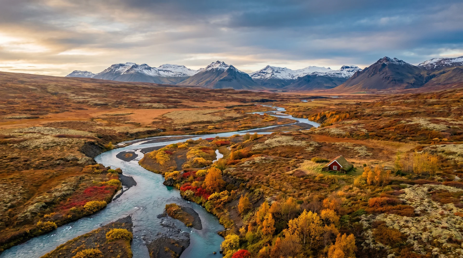
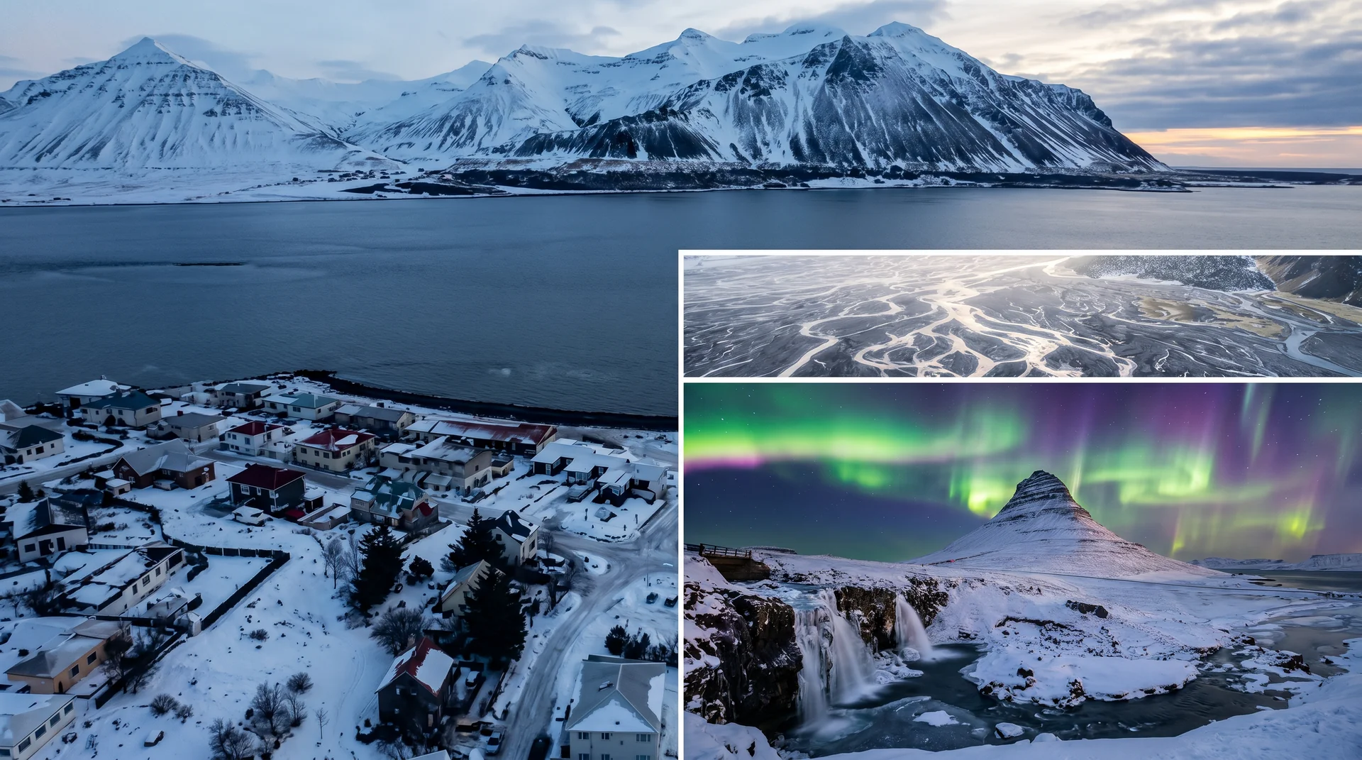
Light, shaped by ice.
Hill above the village. 30-min walk or short drive. Glacier backdrop with low evening light.
From the same hill, sea stacks visible to the west. Long lens compression works best.
Wind-shaped clouds + low arctic light. From the church hill, looking east over the rooftops.
Drive 5 km east on Route 1 for darker skies. Kp 3+ rewards.
Getting there, calmly.
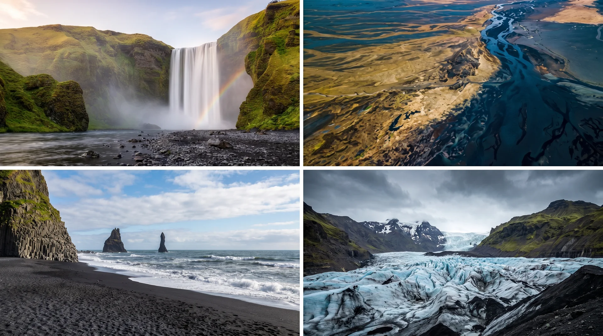
The place, four ways.
Within an hour.
- ReynisfjaraBlack sand + basalt columns
- DyrhólaeyStone arch + puffin cliff
- FjaðrárgljúfurMossy slot canyon
- SólheimajökullGlacier tongue walk-up
- SkaftafellVatnajökull NP base
It lives on these routes.
Read this place differently.
What the place is doing right now.
Make Vík í Mýrdal part of your expedition.
Open it inside the Explorer to see it in context with terrain, season, and conditions — or plan a route that passes through.