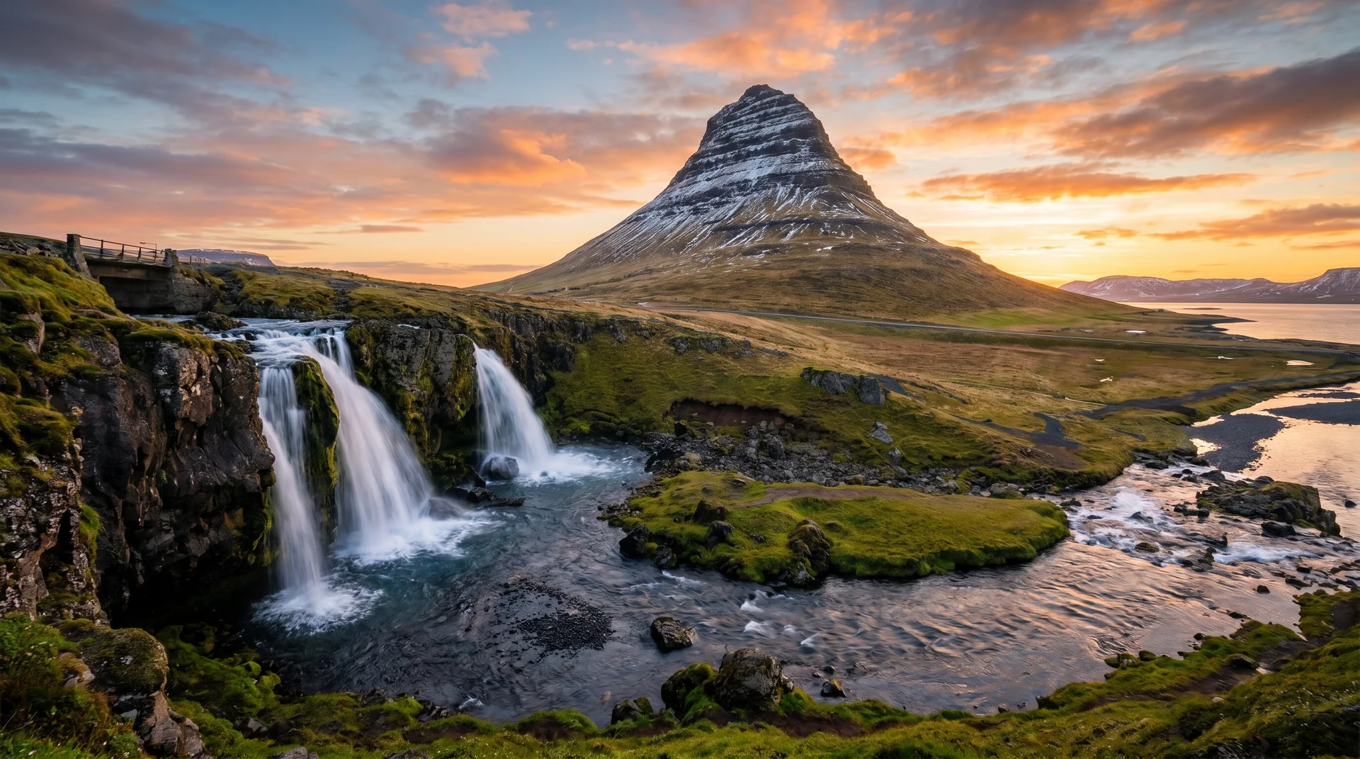
Kirkjufell
Iceland's most photographed mountain — 463 metres of steep basalt above a triple-falls foreground on the north side of Snæfellsnes. The cover shot of half the Iceland guidebooks ever printed.
Why this place matters.
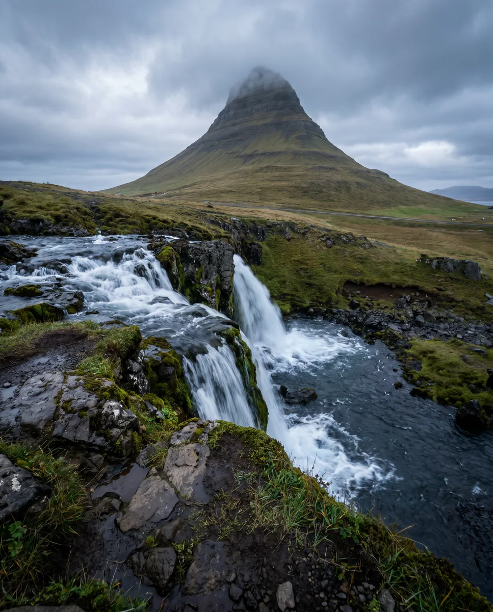
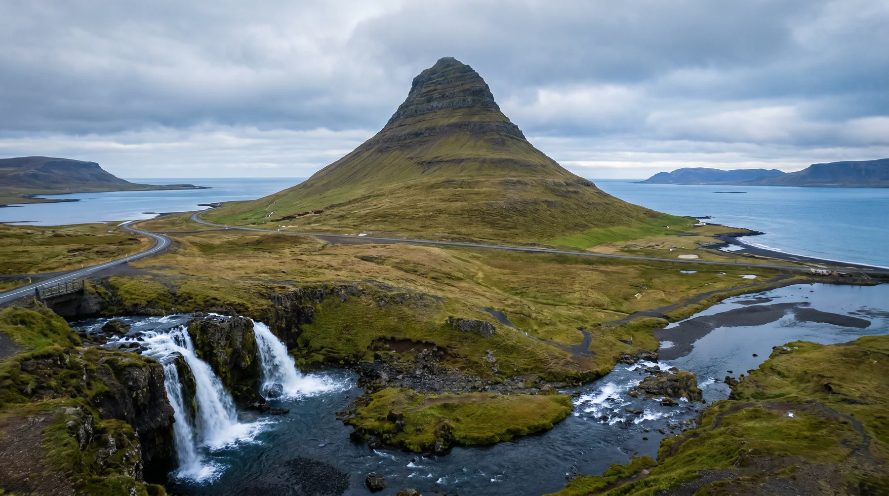
Kirkjufell stands alone — 'Church Mountain', shaped by glacier erosion into a steep arrowhead on the Grundarfjörður peninsula. The canonical composition pairs it with Kirkjufellsfoss, a small triple-cascade in the foreground.
Almost everyone shoots the same angle: from the south side of the falls, mountain centred, water leading the eye in. It's the canonical Iceland photo. Summit climbing requires a guide — three sections of exposed scrambling on loose basalt. The viewpoint requires only patience for the cloud to lift.
West · Snæfellsnes north coast.
On Route 54 just west of Grundarfjörður.
Worth visiting — read the fine print.
Honest, not cynical. These are the things returning visitors tell first-timers.
The 'official' Kirkjufell lot fills by 9am summer. The Kirkjufellsfoss pullout is closer to the canonical composition anyway.
Mountain centred, triple-cascade leading line. Wide angle (16–24 mm). Position low.
The mountain creates lift. On overcast days the summit may not be visible at all. Patience, or come back next day.
Three sections of loose basalt scrambling. Two operators run summer ascents. People die on the unguided attempt every few years.
Mountain silhouette against arcs is one of Iceland's iconic compositions. Kp 3+. Late autumn through early spring.
Exposed to north-westerly weather. Bring a wind shell even on apparently calm days.
When the place is itself.
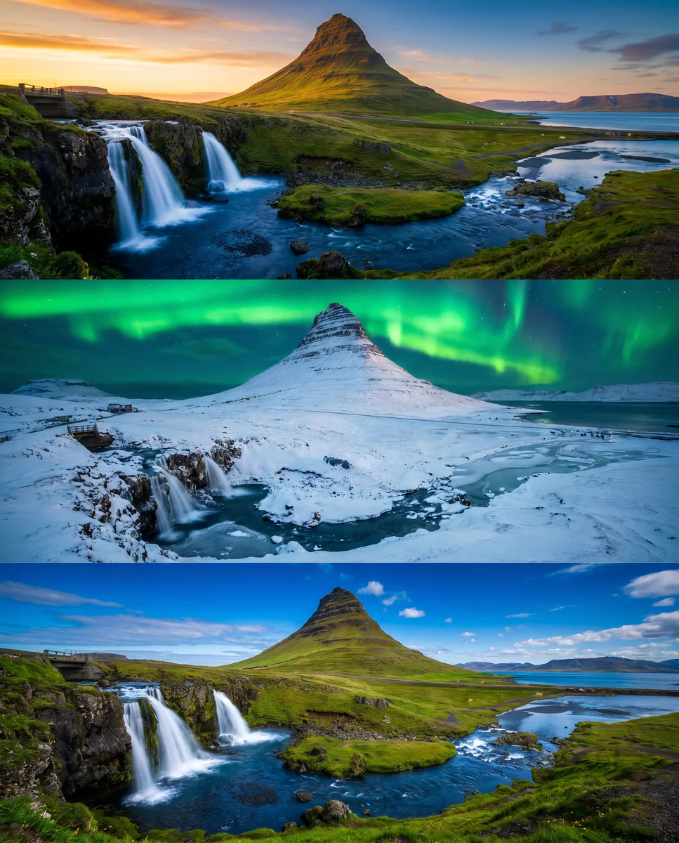
Year-round viewpoint. Aurora season Sep – Mar gives the most distinctive compositions. Summer brings long evening light over the bay.
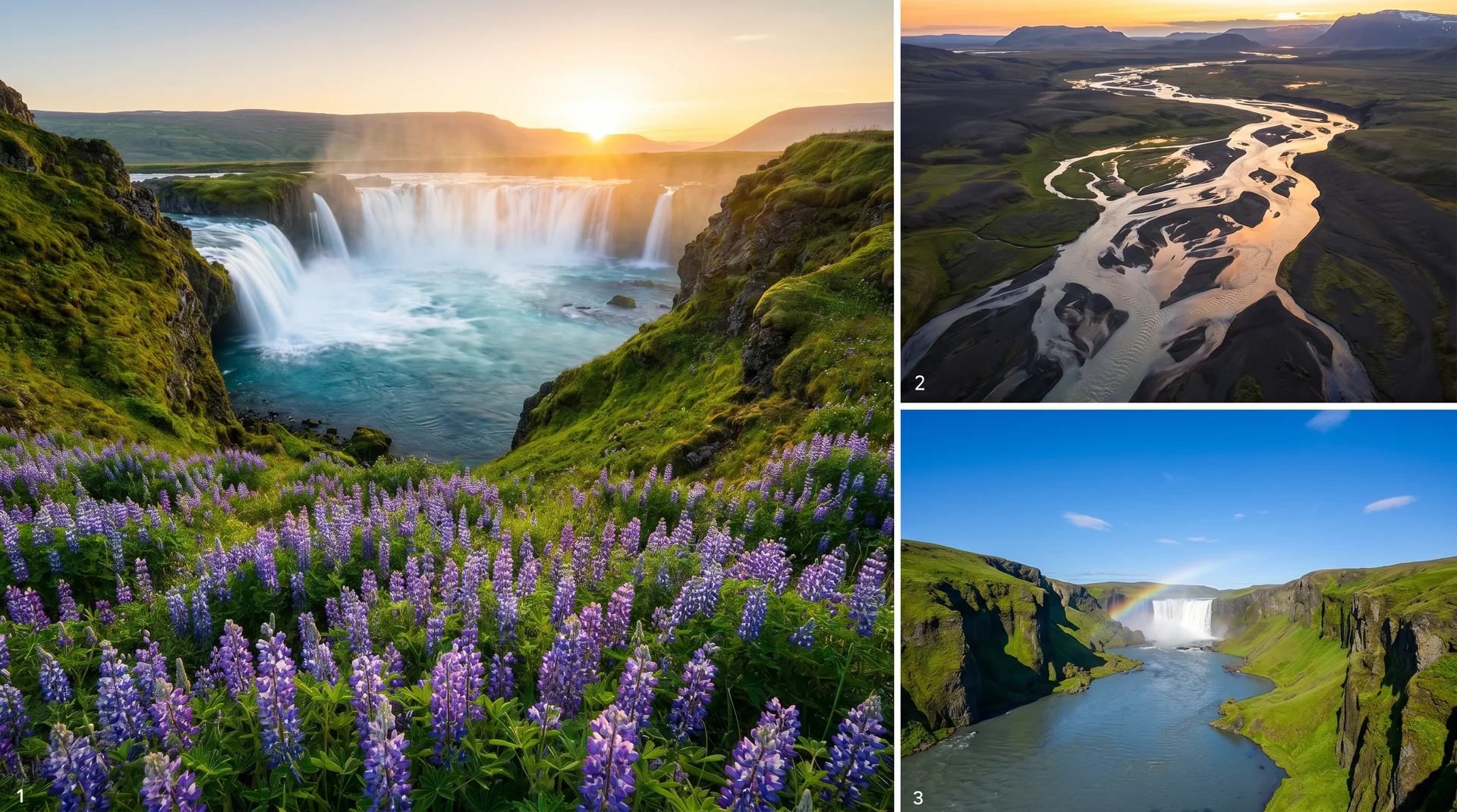
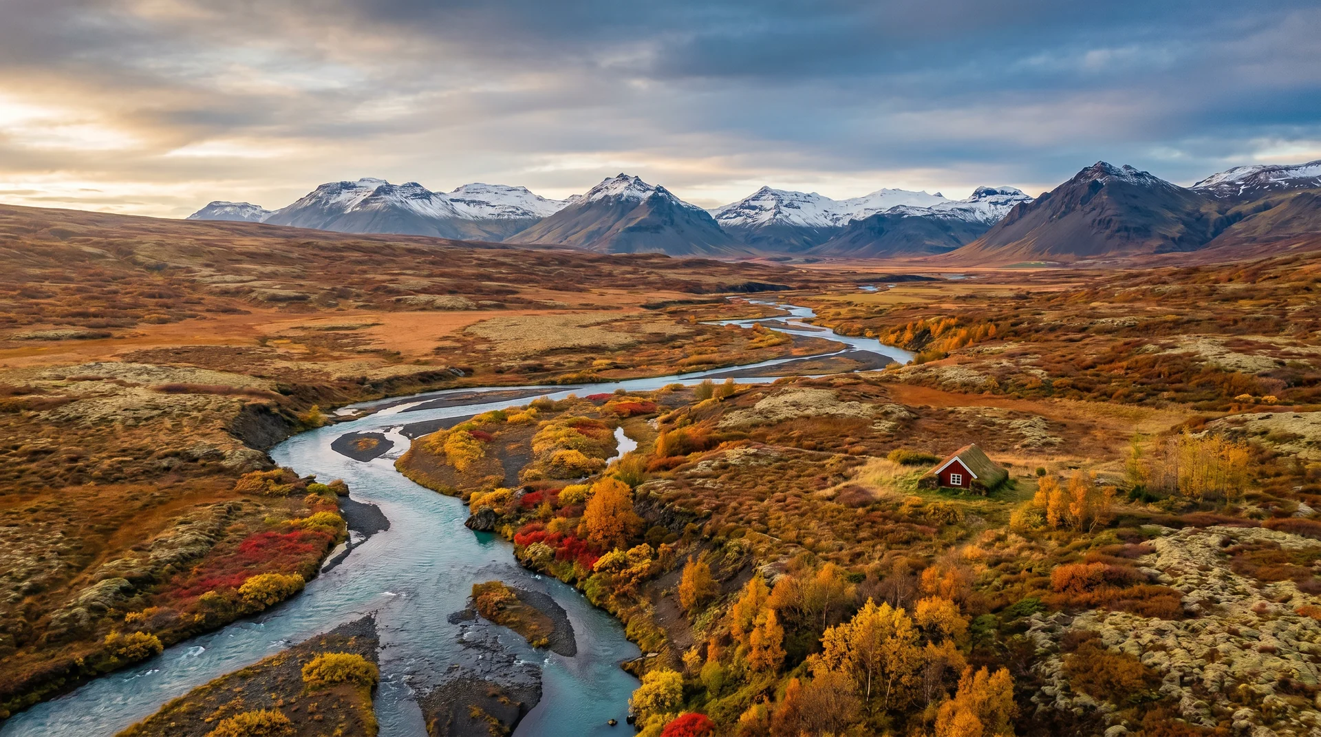
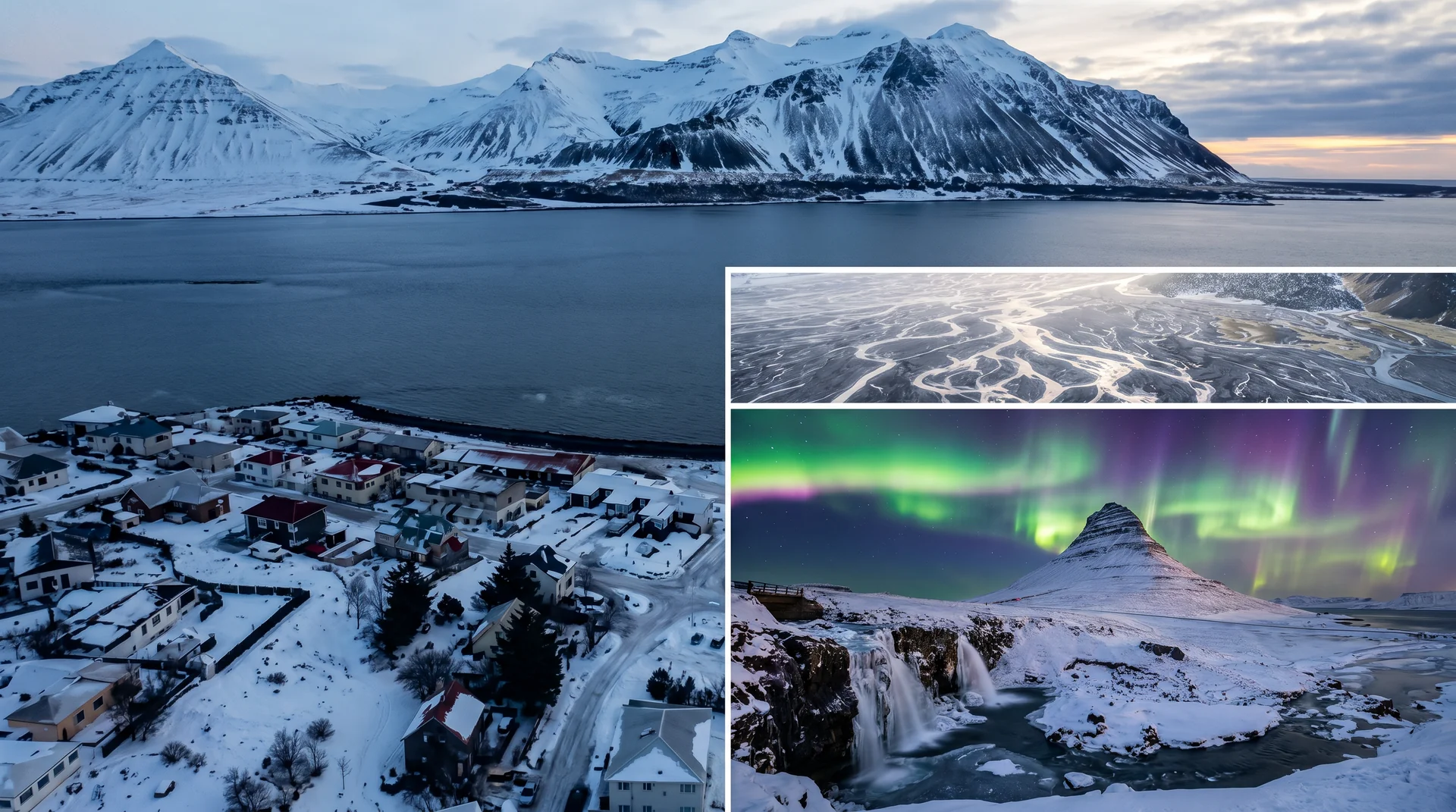
Light, shaped by ice.
From south of Kirkjufellsfoss. Mountain centred, falls leading line. Wide angle. Tripod + ND for silk water.
Same angle, after dark. Kp 3+. ISO 1600–3200, f/2.8 or wider, 8–15s. Composition crucial — mountain not too big.
Mid-summer evenings, pink wraps the peak. From the harbour side or the church viewpoint above Grundarfjörður.
Snow-capped peak, blue twilight, ice forming on the falls. Limited daylight makes timing critical.
Getting there, calmly.
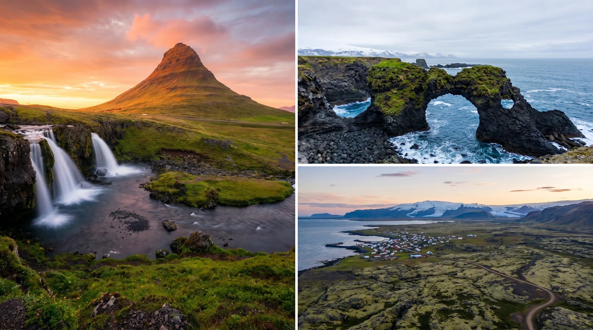
The place, four ways.
Within an hour.
- GrundarfjörðurVillage · whale watching base
- StykkishólmurFerry to Westfjords
- SnæfellsjökullVolcano under glacier
- BúðakirkjaBlack wooden church on lava
- ReykjavíkReturn to base
It lives on these routes.
Read this place differently.
What the place is doing right now.
Make Kirkjufell part of your expedition.
Open it inside the Explorer to see it in context with terrain, season, and conditions — or plan a route that passes through.