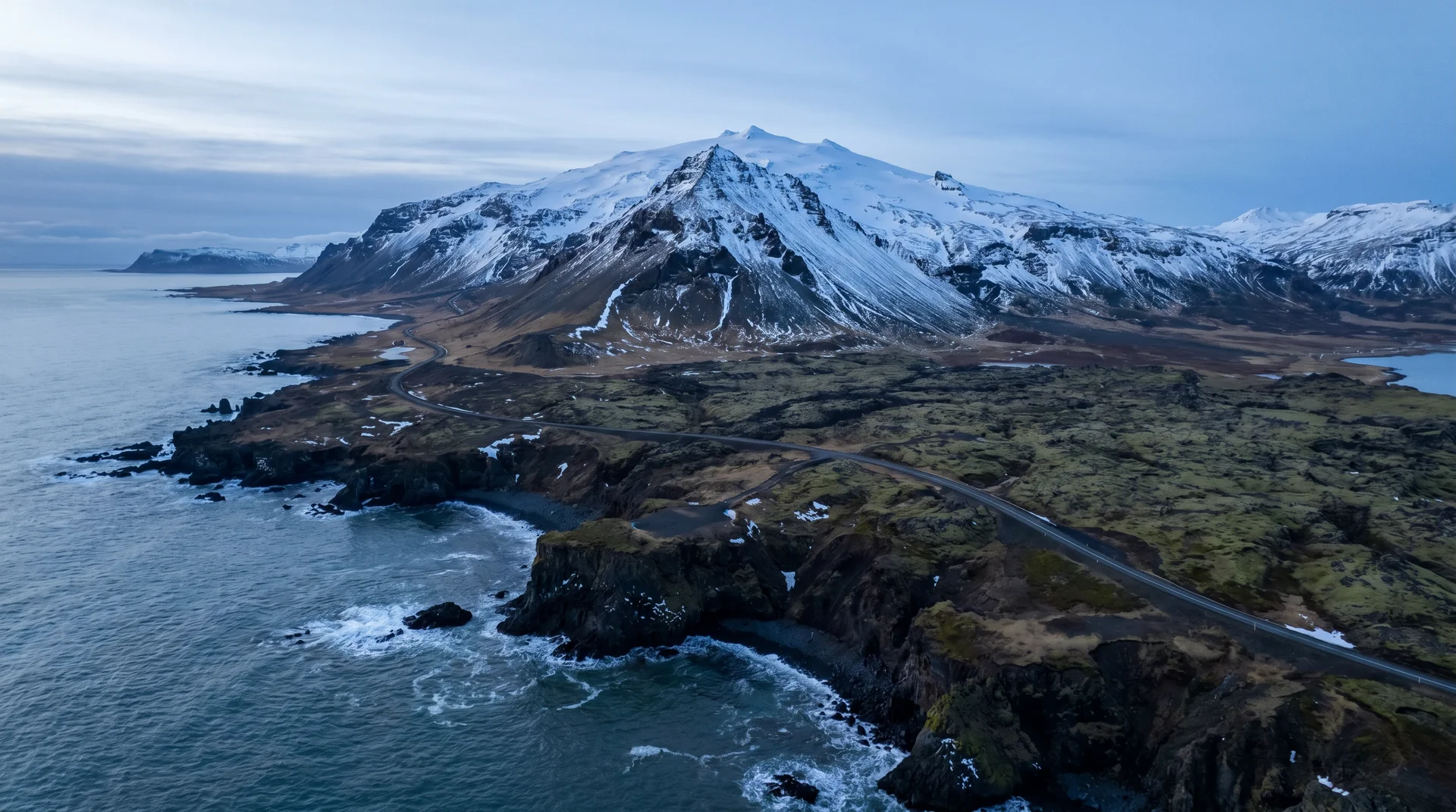
Snæfellsjökull
The 1,446-metre volcano under a glacier at the western tip of Snæfellsnes — Jules Verne's portal to the centre of the Earth, and one of the most prominent landmarks in southwest Iceland.
Why this place matters.
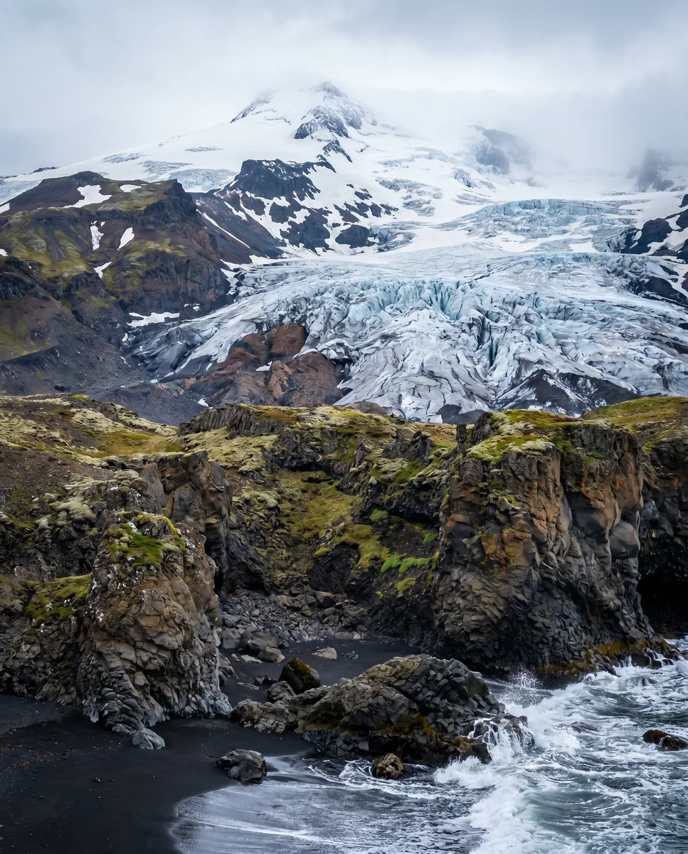
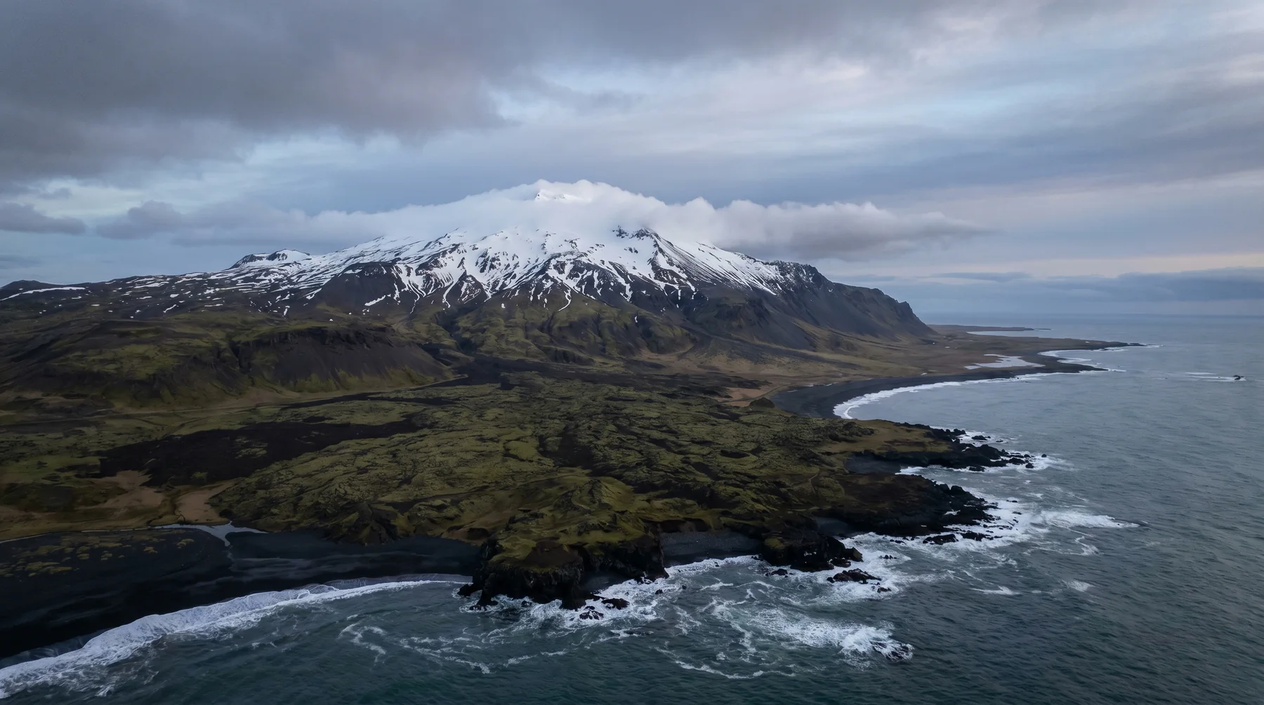
Snæfellsjökull is the visible signature of the Snæfellsnes peninsula. From Reykjavík on clear days you can see it 100 km west — a perfect white cone on the horizon, presiding over a lava-and-ocean landscape that compresses every Icelandic geology into 90 kilometres.
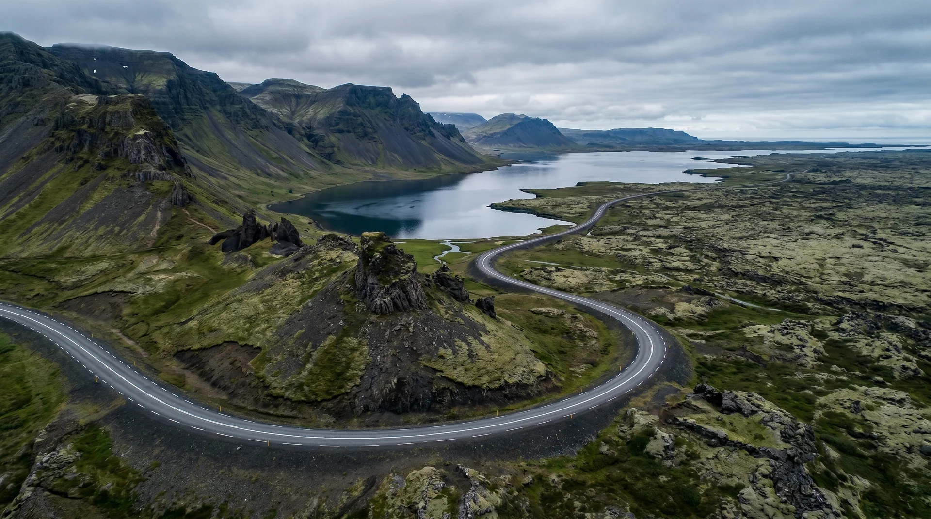
The summit (1,446 m) is glaciated and accessible by guided crampon tour only — and even those cancel often. Most travelers see Snæfellsjökull from below: from the Lóndrangar cliffs, from Saxhóll crater, or from Djúpalónssandur. The whole peninsula tip is a national park; the road that wraps it (Route 574) is the canonical drive.
West · the tip of Snæfellsnes peninsula.
End of Route 574. Lóndrangar, Saxhóll, and Djúpalónssandur are on the loop.
Worth visiting — read the fine print.
Honest, not cynical. These are the things returning visitors tell first-timers.
Two operators run guided crampon tours from Jökulháls in summer. Even with a booking, weather cancels regularly. Don't plan around it.
Open Atlantic. 25 m/s gusts close Lóndrangar approach. Always check vedur.is before the western loop drive.
The mountain creates its own weather. Forecasts for Borgarnes don't apply here. Check Hellissandur webcam before committing.
Sea stacks below the volcano. The pullout requires a 200-m walk; the cliff edges are unfenced. Stay 5 m back in wind.
Best from the west side road (Route 574) looking east-north-east. Late evening summer light is exceptional.
Dormant but not extinct. No current activity. Mountain rescue is an hour away on the peninsula.
When the place is itself.
Peninsula loop year-round. Summit only Jul – Aug with weather + guide. Aurora season Sep – Mar gives dramatic dark skies over the cone.
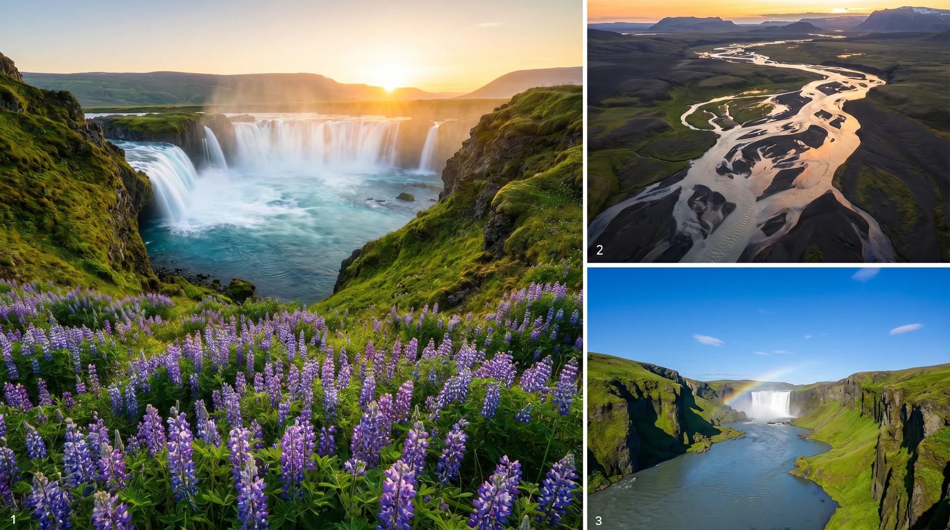
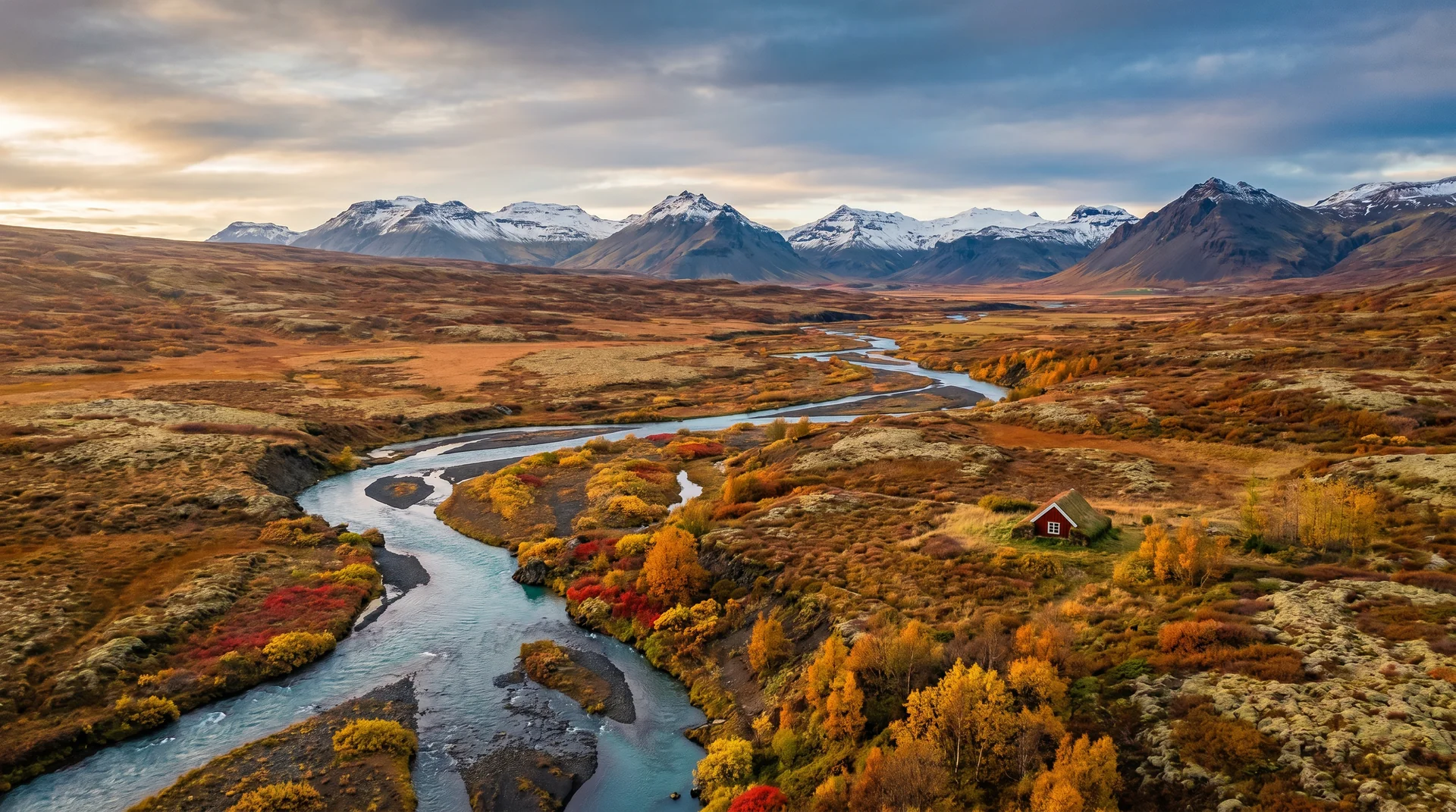
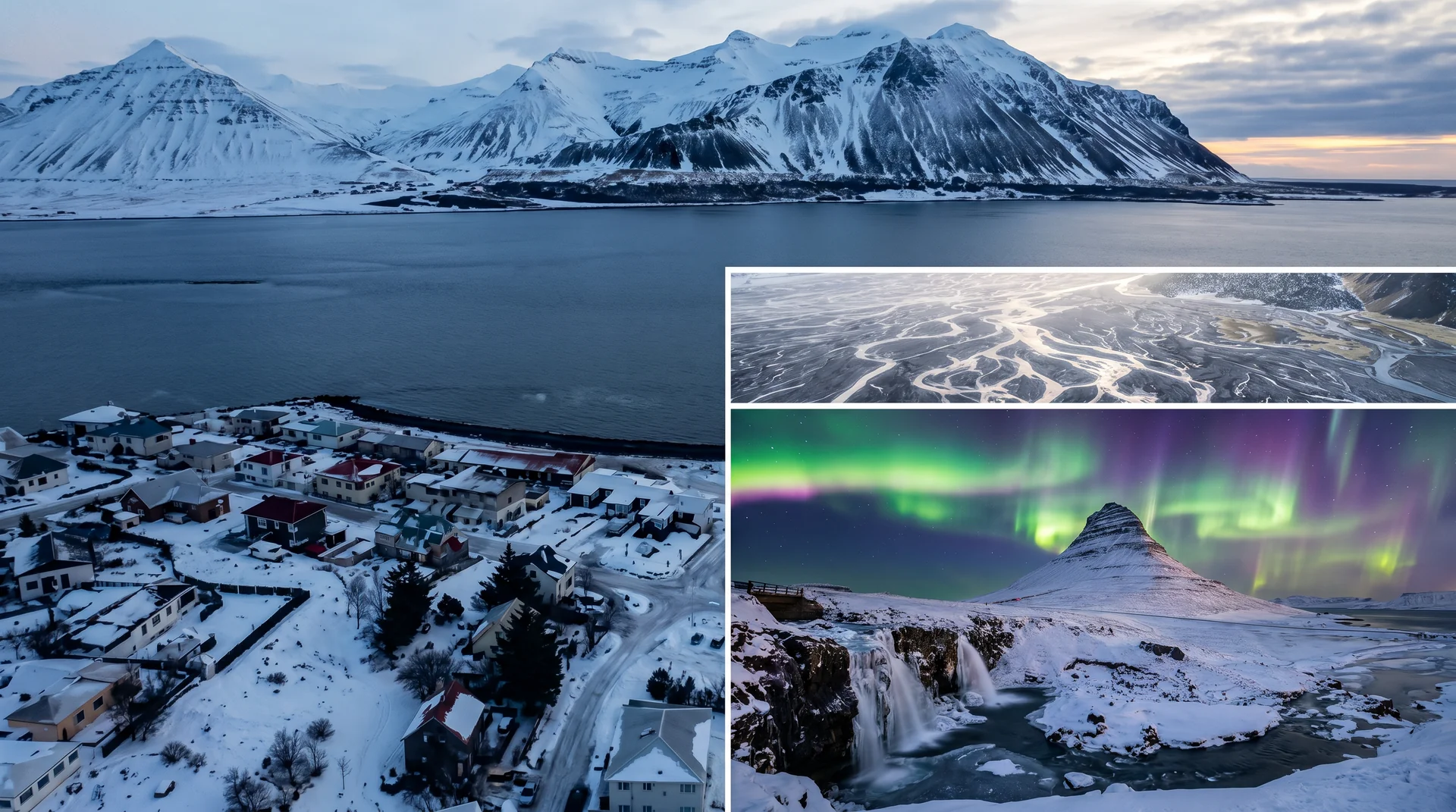
Light, shaped by ice.
From the west side road. Late evening summer light wraps the snow-capped peak in pink — 20-minute window.
Wide angle. Cone visible above the basalt stacks. Cliff edges are unfenced — caution.
Climb the steps for a 360° view of the lava field with the cone behind.
Winter only. The cone silhouettes against arcs. Composition: low and west of the mountain.
Getting there, calmly.
The place, four ways.
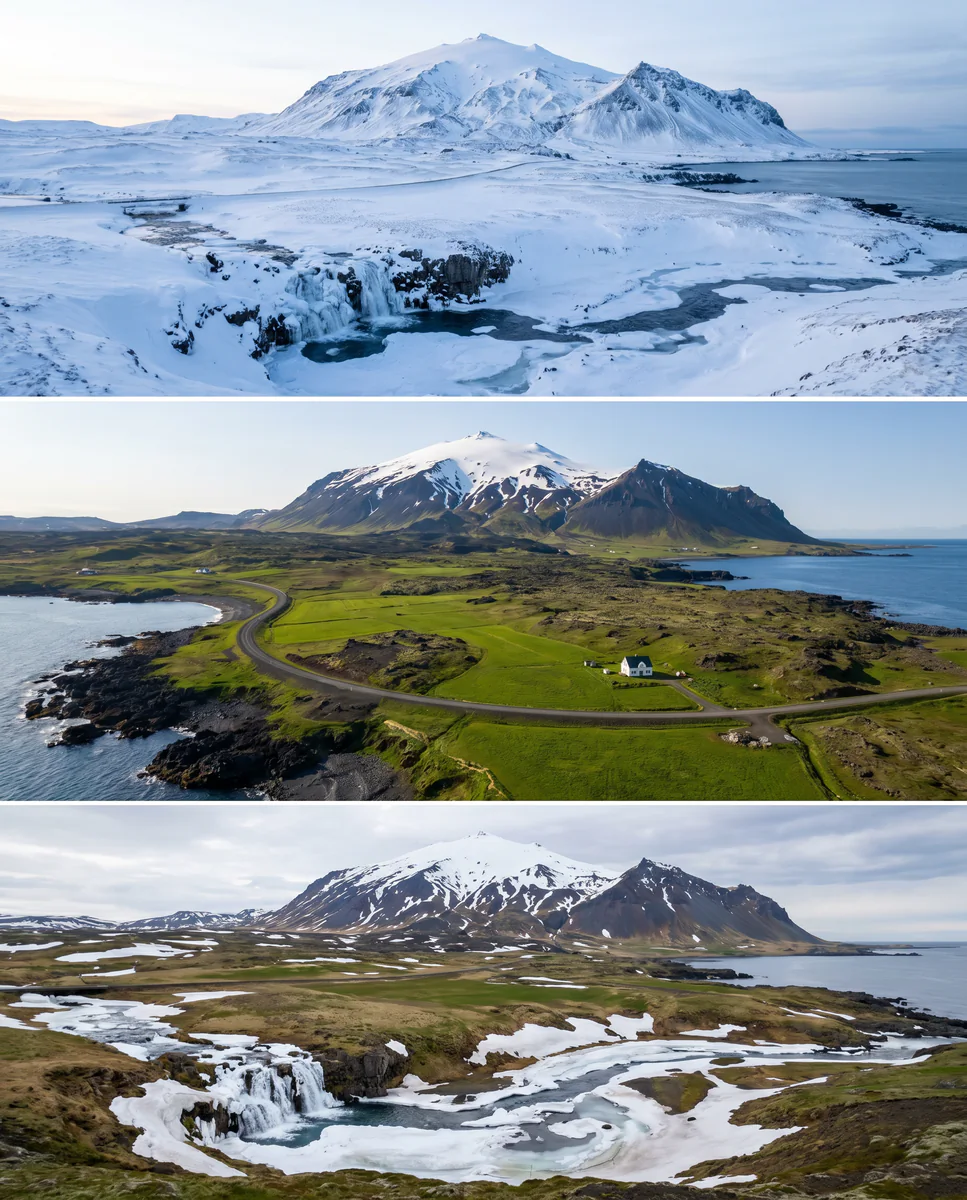
Within an hour.
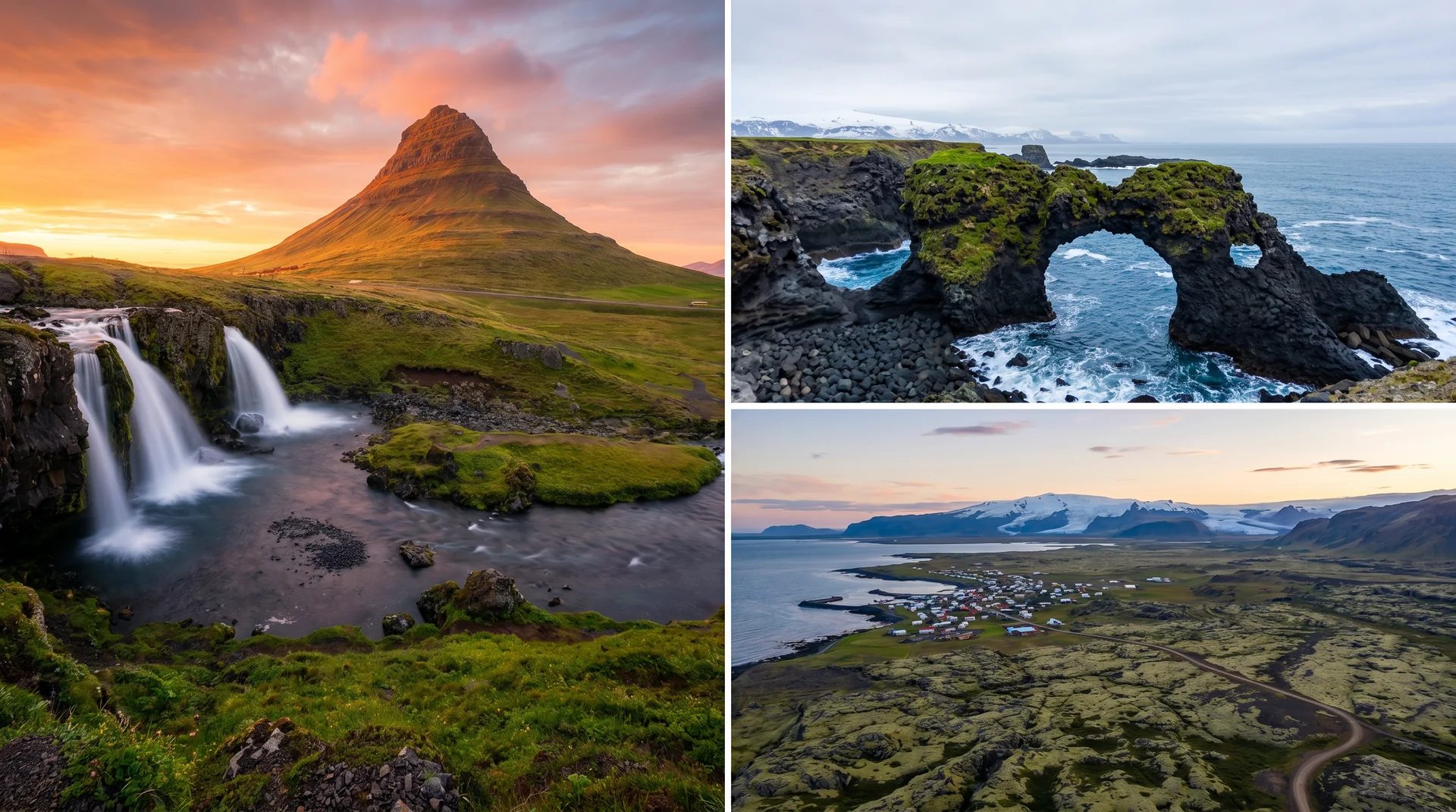
- DjúpalónssandurBlack-sand beach · shipwreck remains
- Saxhóll craterStair climb · 360° lava field view
- Hellnar coastal path2.5 km walk to Arnarstapi
- KirkjufellMost photographed mountain in Iceland
- StykkishólmurFishing town · ferry to Westfjords
It lives on these routes.
Read this place differently.
What the place is doing right now.
Make Snæfellsjökull part of your expedition.
Open it inside the Explorer to see it in context with terrain, season, and conditions — or plan a route that passes through.