Westfjords
ExpeditionSummer-only deep loop950 km loop

Westfjords

Iceland's least-visited region — a knuckle of fjords, gravel mountain passes, and 14-million-year-old basalt cliffs in the far northwest. Five days of solitude as the product.

Circuit distance950 km
Drive time16 – 18 h
Ideal days5 – 6
Best seasonJun – Sep
DifficultyModerate
VehicleAWD strongly
Overview

What this route actually is.

The Westfjords ask for time. You trade the volume of the Ring Road for empty roads, puffin cliffs, and the largest waterfall in the Westfjords — and you accept the gravel passes between them.

The peninsula hangs off Iceland's northwest corner, geologically older than the rest of the country. Most travelers do it as a loop from Reykjavík via Hólmavík, Ísafjörður, and Patreksfjörður, returning via the Baldur ferry across Breiðafjörður (which saves 200 km but books out in summer). Inside the loop, distances are short on the map but slow on the ground — every fjord adds 30 km to skirt and the mountain passes between them are gravel, often single-lane.

Driving on this plan1,200 km · about 22 h plus the ferry
Ideal travelerReturning visitors · solitude-seekers
First-time IcelandNo — pair with Ring Road instead
Winter viabilityCoastal only · interior passes closed
Campervan friendlyYes · sites at Ísafjörður, Patreksfjörður
Driving realismGravel mountain passes · slow average
Trace

The far northwest.

Fjord, pass, fjord. The slowest route in Iceland.

5 days · 1,200 km driven · loop via Baldur ferry
Itinerary

Nine days, sequenced.

Day 1300 km4h 30m

Reykjavík Hólmavík

North via Borgarnes, then west along the Strandir coast. The Witchcraft Museum at Hólmavík is more interesting than it sounds.

Stops along the way
  • Borgarnes
  • Strandir coastline
  • Drangsnes hot tubs
Overnight
Hólmavík
Plan a buffer day if shoulder-season weather sets in.
Anchors

The stops that define the loop.

Látrabjarg cliffs
Late May – mid Aug (puffins)Easy · unfenced edges

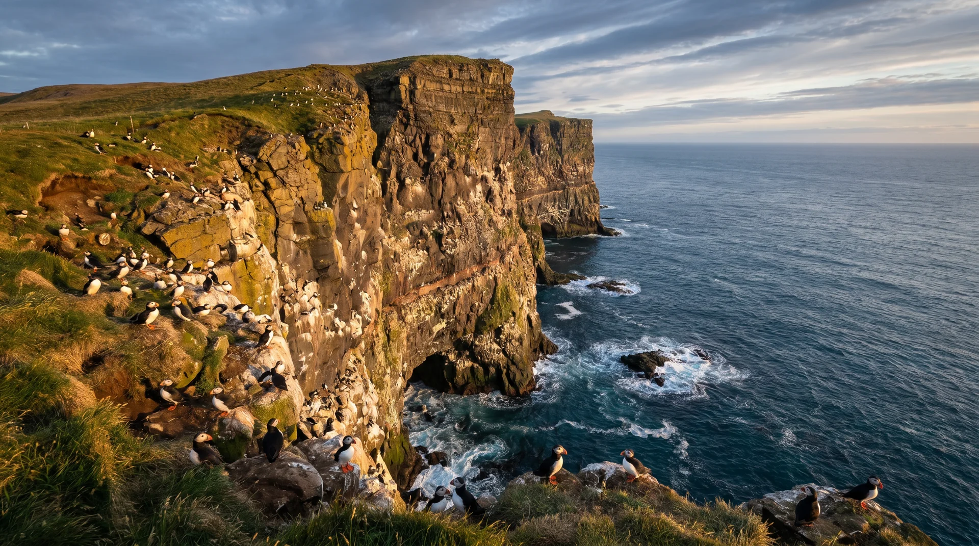
Látrabjarg cliffs

Europe's largest bird cliff. 14 km long, 440 m tall. Home to one of the largest puffin colonies in the world.

RealityCliffs are completely unprotected — stay 3 m back, always. Wind here is the most aggressive on this trip.
PhotographyPuffins at the edge · 200mm or longer, ground-level
ConditionsVery high wind exposure · check Vedur
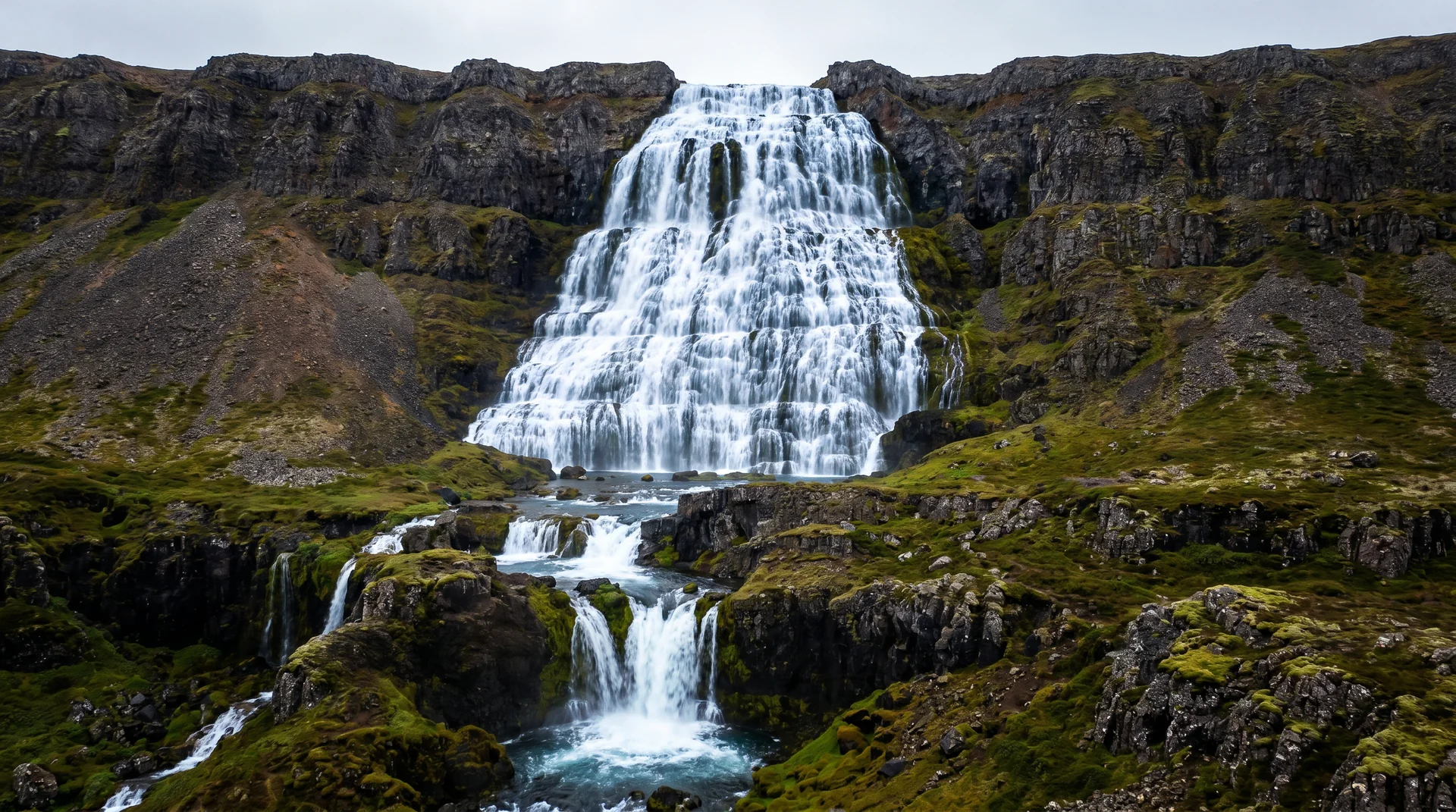
Dynjandi
Jun – Sep (access road open)Easy · 15-min walk to base

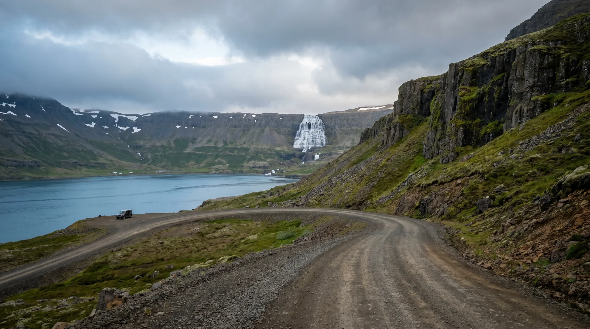
Dynjandi

Six stacked cascades forming a bridal veil 100 m tall. The largest waterfall in the Westfjords.

RealityLinger an hour — there are five smaller falls below the main drop and they're often skipped.
PhotographyLong lens compression from the lower path, wide from the top
ConditionsSpray heavy in westerly wind · pack a shell
Rauðasandur
Jun – SepEasy · 6 km gravel access road

Rauðasandur

10 km of pink-and-red sand on the south coast — geologically unique on a black-sand island.

RealityTide matters. At low tide the sand is widest and most photogenic. The cafe at the parking lot is excellent.
PhotographyAerial-style from the access road descent · low evening light
ConditionsCoastal · wind variable · access road slow
Reality check

What guidebooks don't say.

Honest, not fear-based. Iceland rewards travelers who plan for what actually happens.

Distances are deceptive

Every fjord doubles the map distance. Allow 50% more time than Google Maps suggests on gravel days.

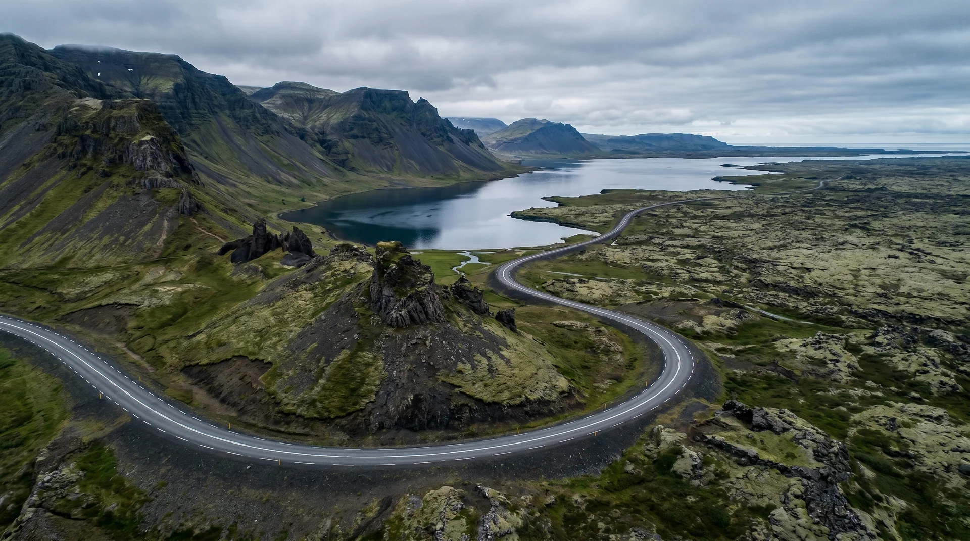
Mountain passes are gravel and steep

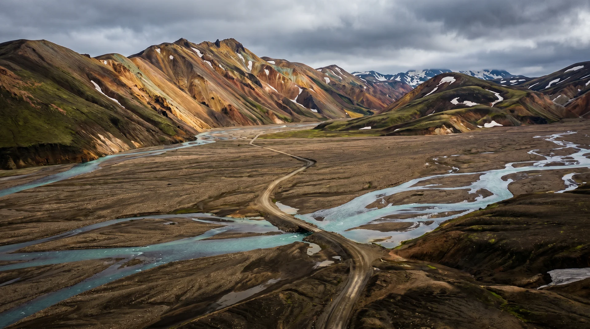
Steingrímsfjarðarheiði (Pass 61), Þverárfjall, Hrafnseyrarheiði — all single-lane gravel, 9% gradient sections. AWD is strongly recommended.

Westfjords get the first weather

The peninsula sticks out into the North Atlantic. Storms arrive here before the rest of the country sees them.

Látrabjarg cliffs are completely unfenced

440 m drop. No railings, no warning signs. Stay 3 m back, always — wind gusts can push you.

Fuel stations are sparse

Hólmavík, Ísafjörður, Patreksfjörður, Brjánslækur. Long stretches between. Refuel at half-tank principle.

Baldur ferry books out in summer

Saves 200 km of gravel return drive but the high-season slots go in March. Book early or commit to the long drive.

Variations

How it reads each season.

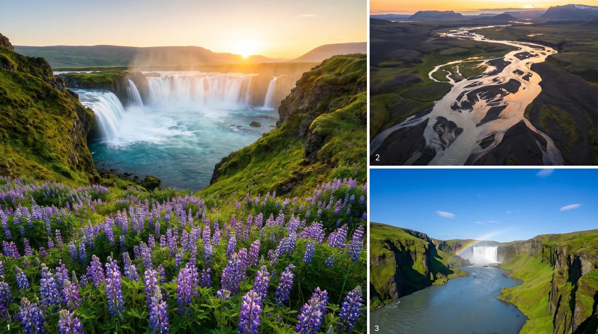
Summer · Jun–Aug
Jun–Aug

Summer

AccessFull loop · all passes open
Daylight21+ h midnight sun
WeatherMild · 6–13°C
CrowdsLow even at peak

Puffins active at Látrabjarg. Whale watching from Ísafjörður.

Shoulder · May / Sep
May / Sep

Shoulder

AccessMain loop · some passes weather-led
Daylight12 – 16 h
WeatherCold · variable
CrowdsVery low

Aurora returns in late September. Some accommodations close in late Sep.

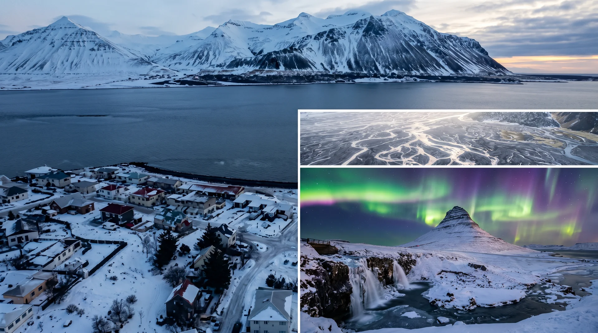
Winter · Nov–Mar
Nov–Mar

Winter

AccessCoastal towns only · interior closed
Daylight3 – 5 h
WeatherStorms · snow-blocked passes
CrowdsOff-season

Most of the route is impassable. Ísafjörður reachable by air or the ferry.

Lenses

Read the route differently.

Conditions

What the road is doing right now.

Weather
Loading…
Wind
Loading…
Daylight
Loading…
Aurora
Loading…
Reading conditions… · Aurora: NOAA SWPC
Budget

What this loop costs, honestly.

Fuel
€180 – €240
Full loop · 2WD or AWD
Accommodation
€120 – €280 / night
Limited inventory · book early
Campervan
€140 – €240 / day
Sites in Ísafjörður, Patreksfjörður
Baldur ferry
€80 – €130
Car + driver · summer slots fill fast
Food
€55 – €65 / day
Ísafjörður best supermarket
Vehicle upgrade
+€30 – €60 / day
AWD vs 2WD · worth it