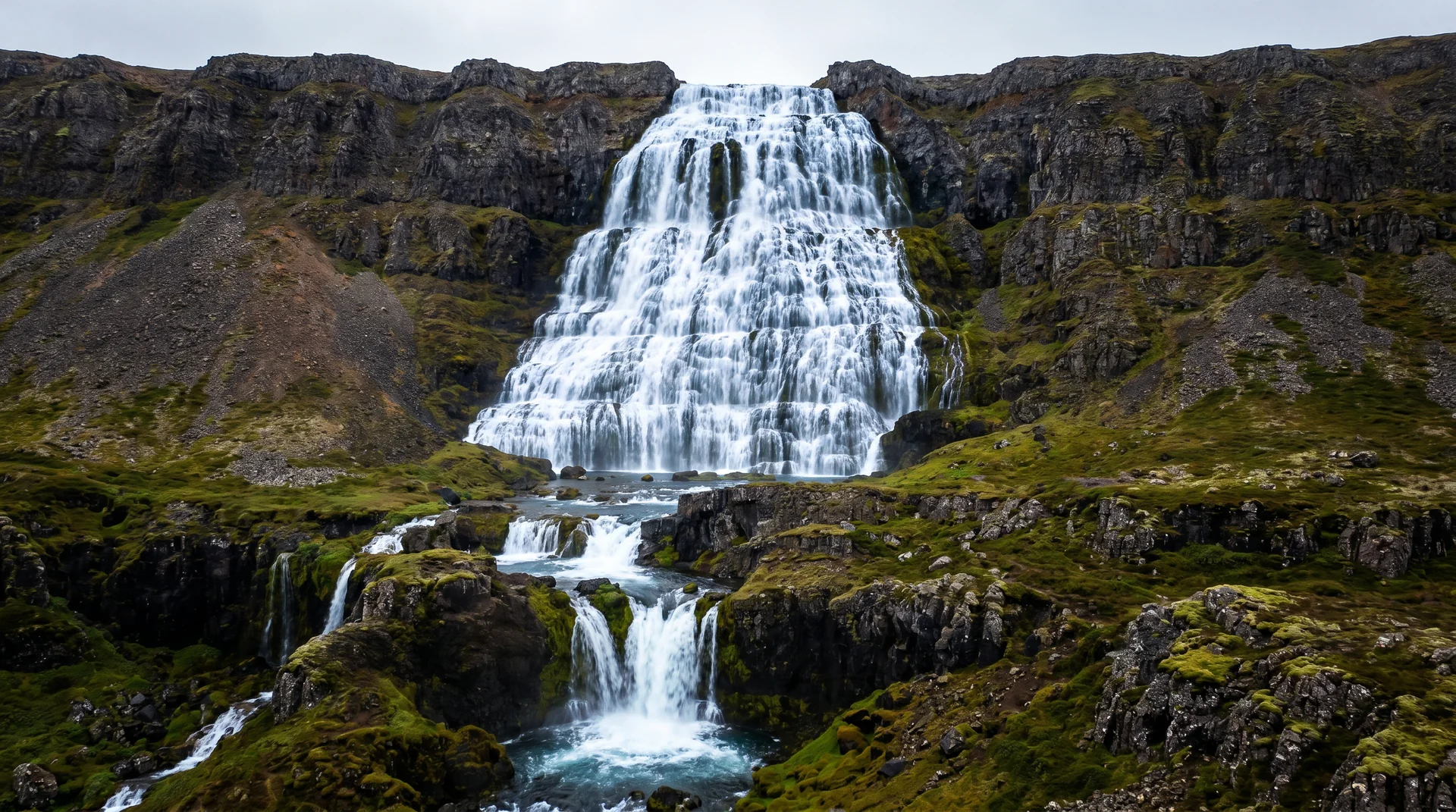
Dynjandi
Six stacked cascades forming a 100-metre veil — the largest waterfall in the Westfjords and one of the most underrated in Iceland. The 'Thunderous One' lives up to her name.
Why this place matters.
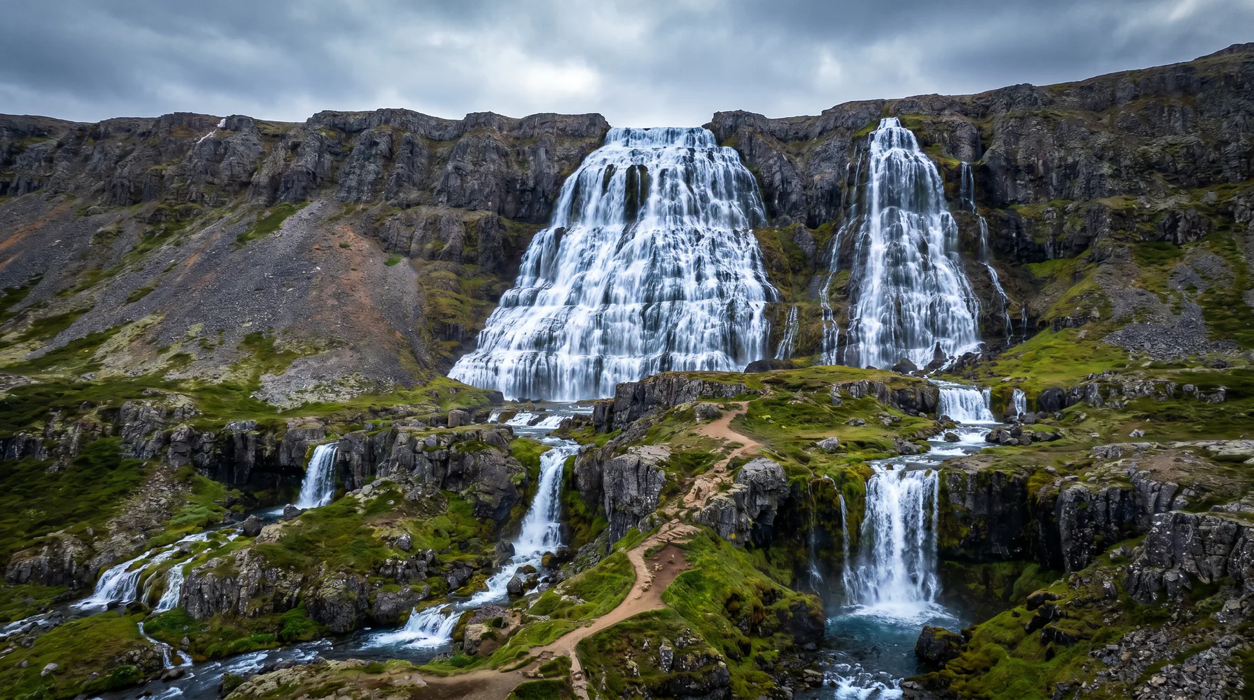
Dynjandi is six waterfalls in one — the main 100-metre veil at the top, then five smaller stepped falls below, each named (Hundafoss, Bæjarfoss, Kvíslarfoss, Hrísvaðsfoss, Strompgljúfrafoss). Most visitors photograph the main fall and leave; the lower cascades are the underrated gift.
From the parking lot, the path climbs 400 metres through the lower falls — each one its own scene — to the base of the main veil. Allow an hour. The mist + moss + tiered geometry is one of Iceland's photographically richest sites, and the most-skipped great waterfall in the country.
Westfjords · Arnarfjörður south shore.
On Route 60, between Þingeyri and Patreksfjörður.
Worth visiting — read the fine print.
Honest, not cynical. These are the things returning visitors tell first-timers.
Most travelers walk straight to the main fall and back. Each of the five lower falls has its own composition. Linger an hour.
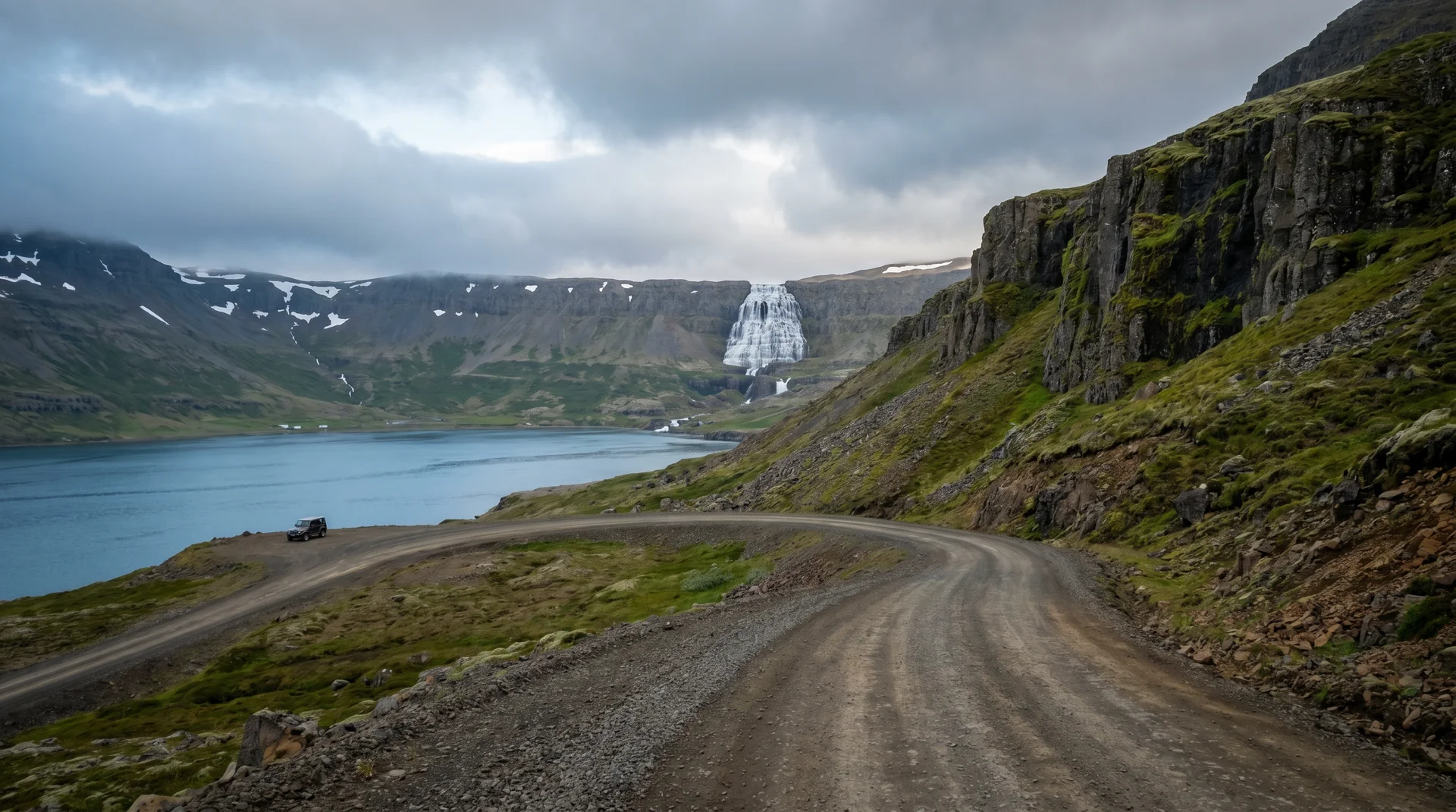
Hrafnseyrarheiði pass (Route 60) is gravel mountain road. Single-lane, foggy mid-morning. 4WD recommended.
Main fall sends spray 50 m on bad days. Windproof shell mandatory. Lens cloth essential.
Tour buses (rare here) pulse 11am – 2pm. After 4pm you may have the place to yourself.
Þingeyri (1h north) and Patreksfjörður (2h south) are the nearest fuel. Top off before the visit.
No formal restriction but mist + wind makes drones risky. Most photographers use long-lens compression instead.
When the place is itself.
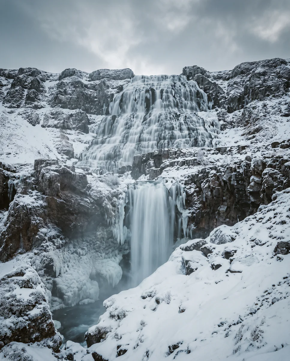
Jun – Sep window. Outside that, the access road is impassable. Late June + early July run highest from snowmelt; September gives the softest light.
Light, shaped by ice.
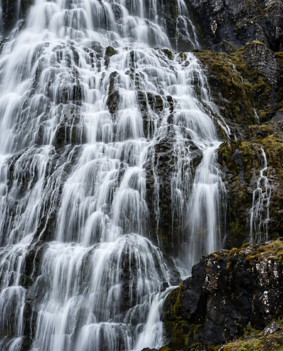
Wide-angle (16–24 mm) at the foot of the veil. Long exposure smooths the tiers; 10-stop ND.
Long lens (70–200 mm) from below. Stacks the cascades into geometric layers. Side-light brings out the white-and-blue.
Each of the five lower falls is its own subject. Bæjarfoss is the most photogenic of them.
Bright sun blows out the spray. Cloud diffusion gives the cleanest tonal range. Iceland delivers this naturally.
Getting there, calmly.
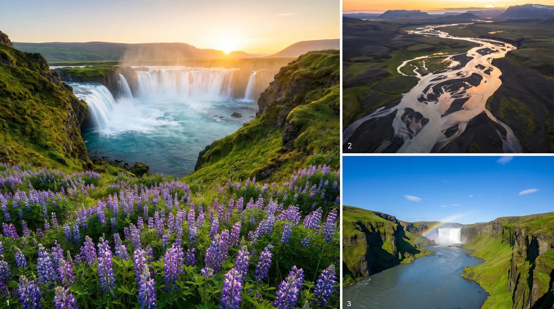
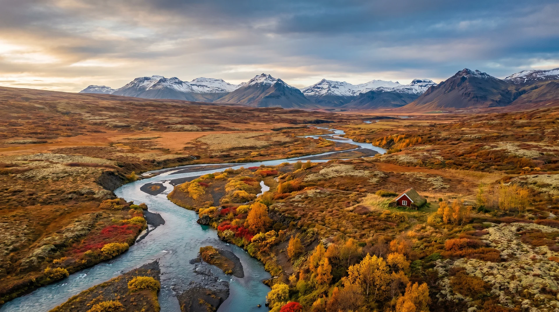
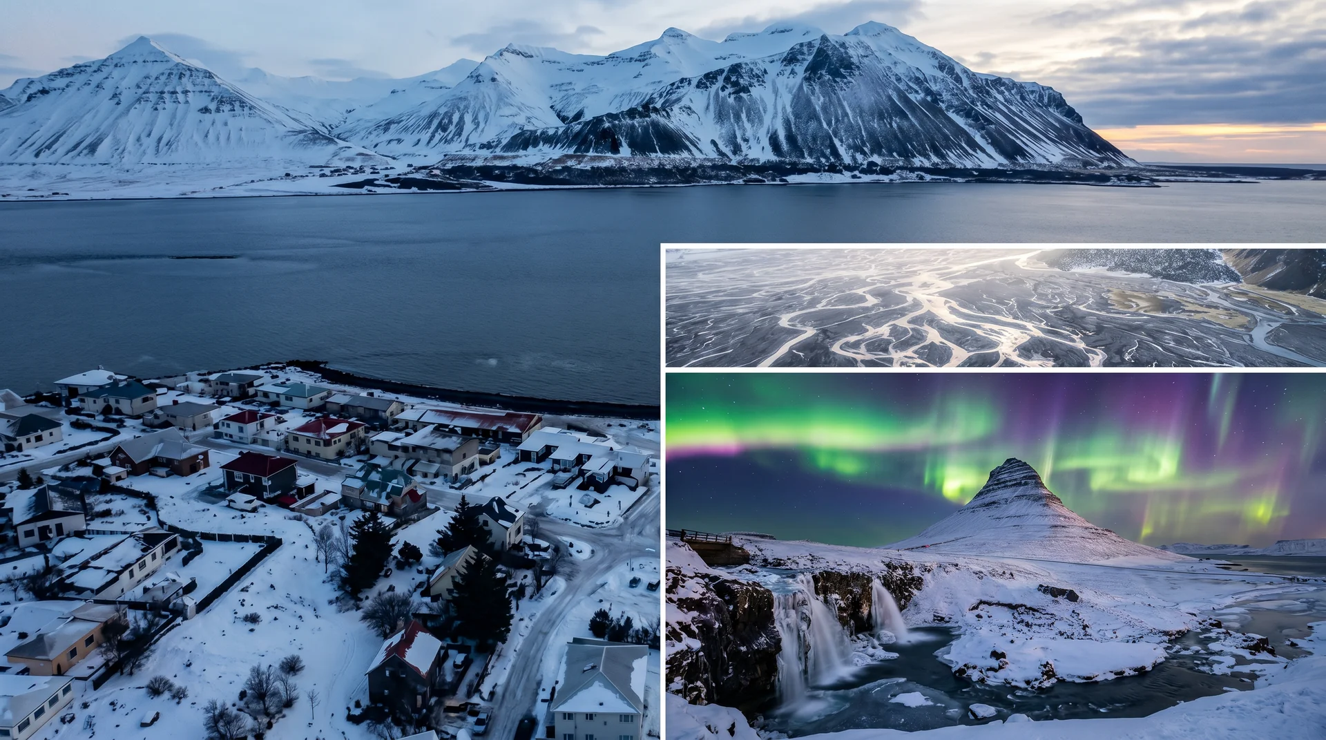
The place, four ways.
Within an hour.
- HrafnseyriJón Sigurðsson birthplace · café
- ÞingeyriWestfjords village + diving
- BíldudalurMonster museum + harbour
- PatreksfjörðurWestfjords overnight base
- LátrabjargPuffin cliffs
It lives on these routes.
Read this place differently.
What the place is doing right now.
Make Dynjandi part of your expedition.
Open it inside the Explorer to see it in context with terrain, season, and conditions — or plan a route that passes through.