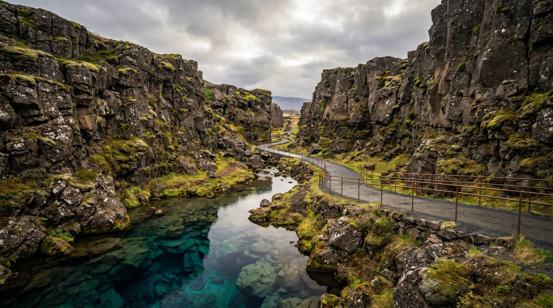
Þingvellir
The literal seam between two continents — and the field where Iceland's parliament met for nine centuries starting in 930 AD. Geology and history, layered on one piece of ground.
Why this place matters.
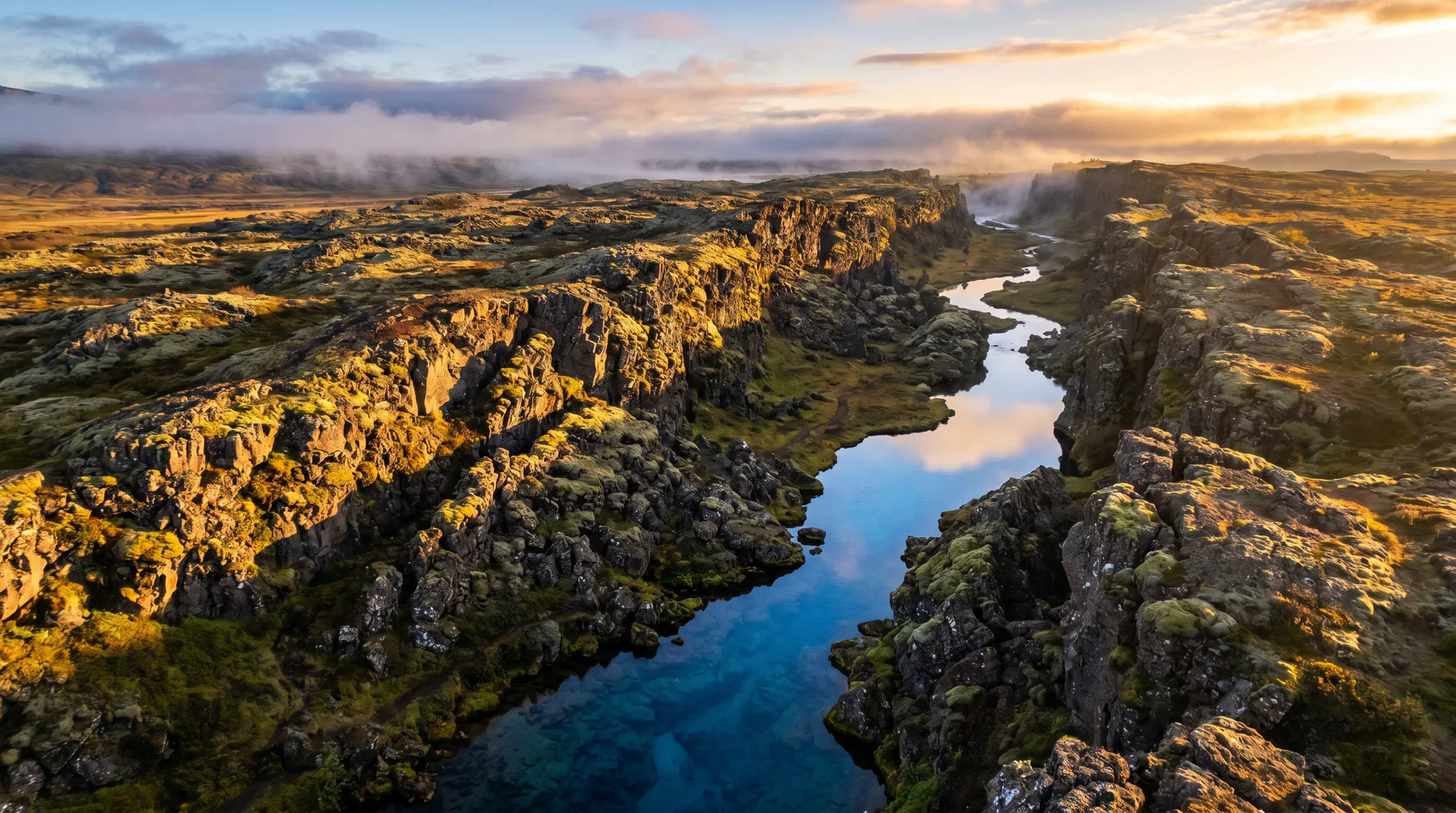
Þingvellir is where the North American and Eurasian plates pull apart at about 2 cm per year. You can walk down the rift. It's also where the Alþingi — the world's oldest still-functioning parliament — first convened.
Most travelers spend 90 minutes here and leave with a vague sense of geology. The richer visit follows the boardwalks from Almannagjá rift through the parliament site to Öxarárfoss, then drives down to the lakeshore for the view across Þingvallavatn — Iceland's largest natural lake.
Southwest interior · 47 km from Reykjavík.
First stop on every Golden Circle loop. Lake Þingvallavatn opens south of the rift.
Worth visiting — read the fine print.
Honest, not cynical. These are the things returning visitors tell first-timers.
Two main lots: P1 (closer to the rift) and P2 (closer to Öxarárfoss). Toilets at both. Pay at the meter or visitor centre.
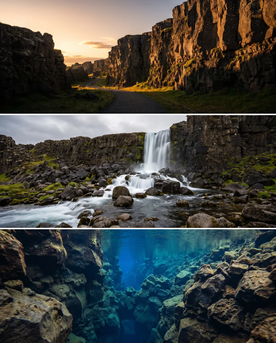
Snorkelling between the continents is guide-only and books out months ahead. Dry suit required even in summer.
The big one you see in photos. The east-side Hrafnagjá is the actual plate boundary — fewer people, equally dramatic.
Þingvallavatn is wide-open. 20 m/s gusts happen even on calm-looking days. Less of a factor inside the rift itself.
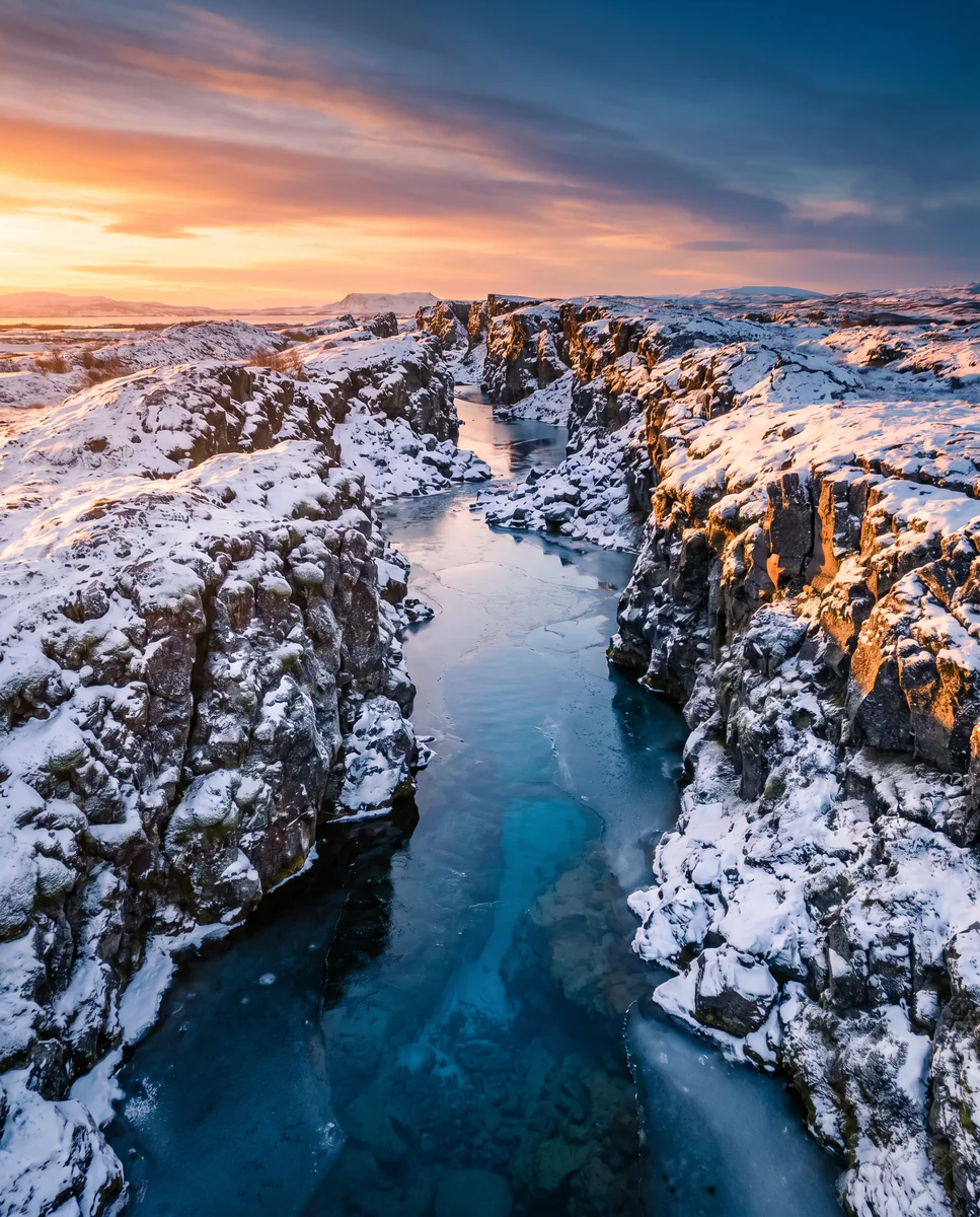
Before 9 or after 4 is empty. Winter mornings are particularly quiet — the rift in snow is striking.
Lögberg (the Law Rock) is where laws were recited annually from 930 AD. Standing there is genuinely moving if you give it five minutes.
When the place is itself.
Workable year-round. Peak in summer for trail access; winter delivers snow-dusted rift photography. The path along Almannagjá is salted in cold months.
Light, shaped by ice.
Sun enters the rift mid-morning. Side-shadow on the cliff face is the most photogenic moment.
Best after a light rain or melt — full spring flow blows out the composition.
January–March gives the cleanest tonal range. Tripod for short shutters in the cold.
Open horizon to the north. Park at P2 after dark and walk in. Kp 3+ rewards.
Getting there, calmly.
The place, four ways.
Within an hour.
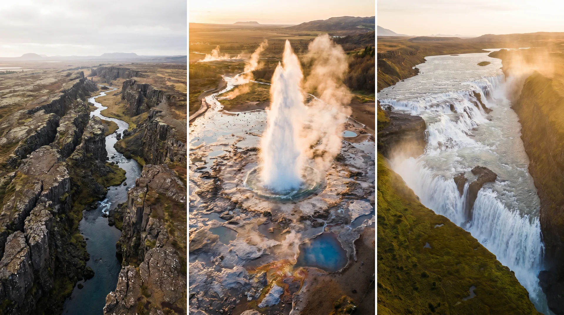
- GeysirStrokkur erupts every 6–10 min
- GullfossTwo-tier glacial waterfall
- BrúarfossBrilliant-blue cascade · short hike
- ReykjavíkReturn to base
- Laugarvatn FontanaGeothermal spa on a lake
It lives on these routes.
Read this place differently.
What the place is doing right now.
Make Þingvellir part of your expedition.
Open it inside the Explorer to see it in context with terrain, season, and conditions — or plan a route that passes through.