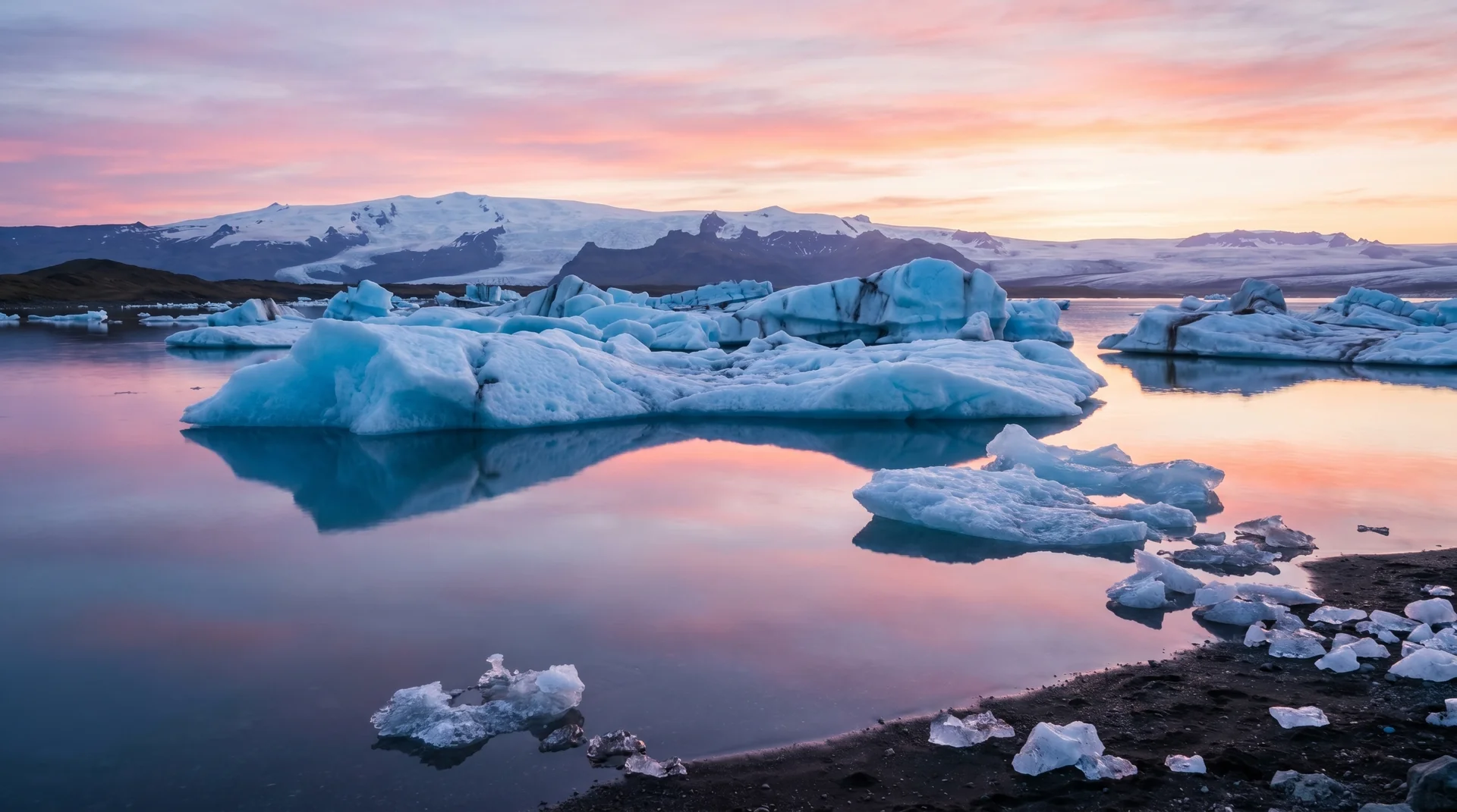
Jökulsárlón
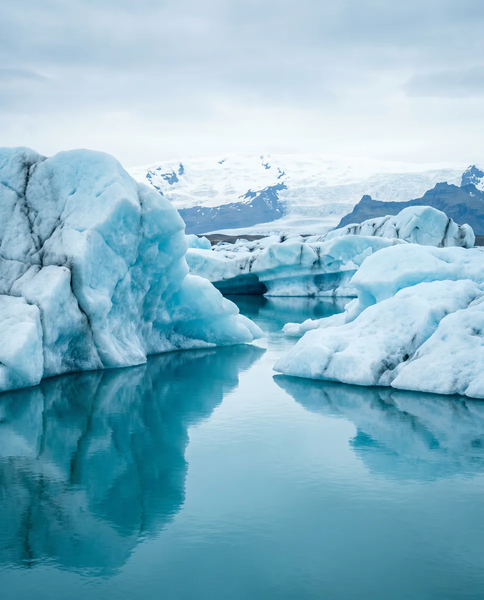
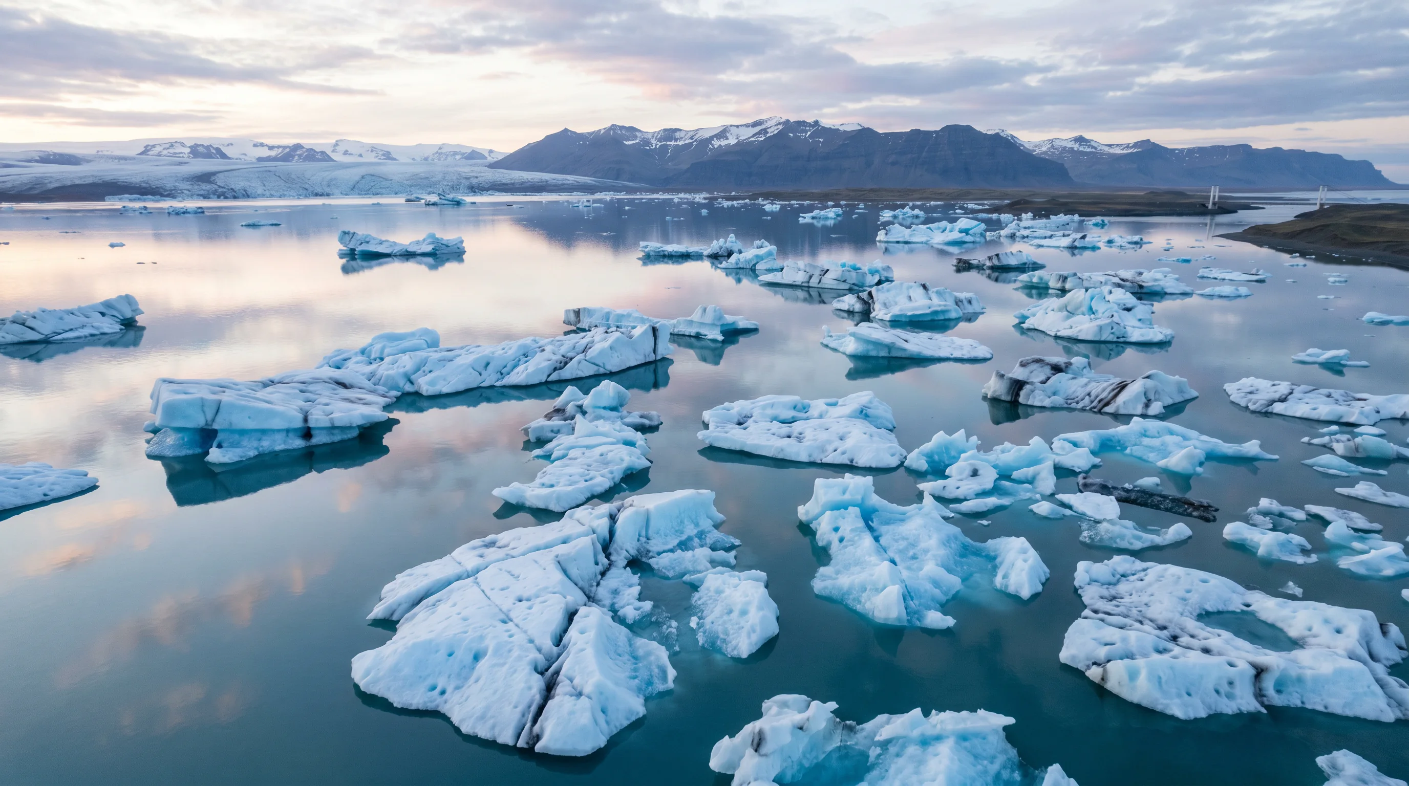
A tidal lagoon where icebergs from Breiðamerkurjökull drift out to sea, then wash back onto a black sand beach. Read it slowly — the light shifts every ten minutes.
Why this place matters.
Jökulsárlón formed in the 1930s when Breiðamerkurjökull began retreating. In a human lifetime, it has grown into Iceland's deepest lake. It is, quite literally, a place you are watching disappear and rearrange itself in real time.
It rewards slow attention. Most travelers come for thirty minutes of phone photos and leave. The ones who stay through a tide cycle, or wait for blue hour, walk away with a different idea of what Iceland actually is. This is not a viewpoint — it's a working piece of landscape.
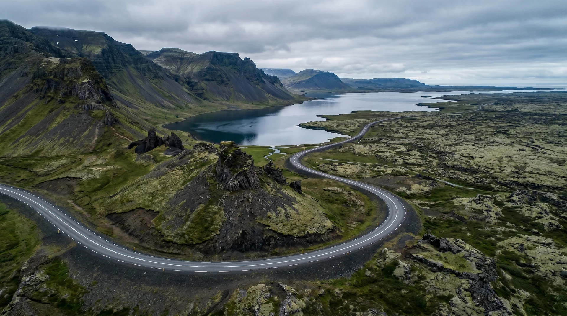
South-east coast, below the ice cap.
Sits on Route 1 between Höfn and Vík — a natural anchor day on any Ring Road expedition.
Worth visiting — read the fine print.
Honest, not cynical. These are the things returning visitors tell first-timers.
Be there before 9 or after 6. The light is also better at those hours.
Stay behind the warning line. People are seriously injured here every year.
Two lots, both fill by 10am Jun–Aug. The eastern lot is usually less full.
Even mild days are cold lagoon-side. Layer one warmer than the forecast suggests.
Boat tour season (May–Oct): drones banned within the lagoon perimeter.
Most stay 90 minutes. Photographers stay 3+ hours and never regret it.
When the place is itself.
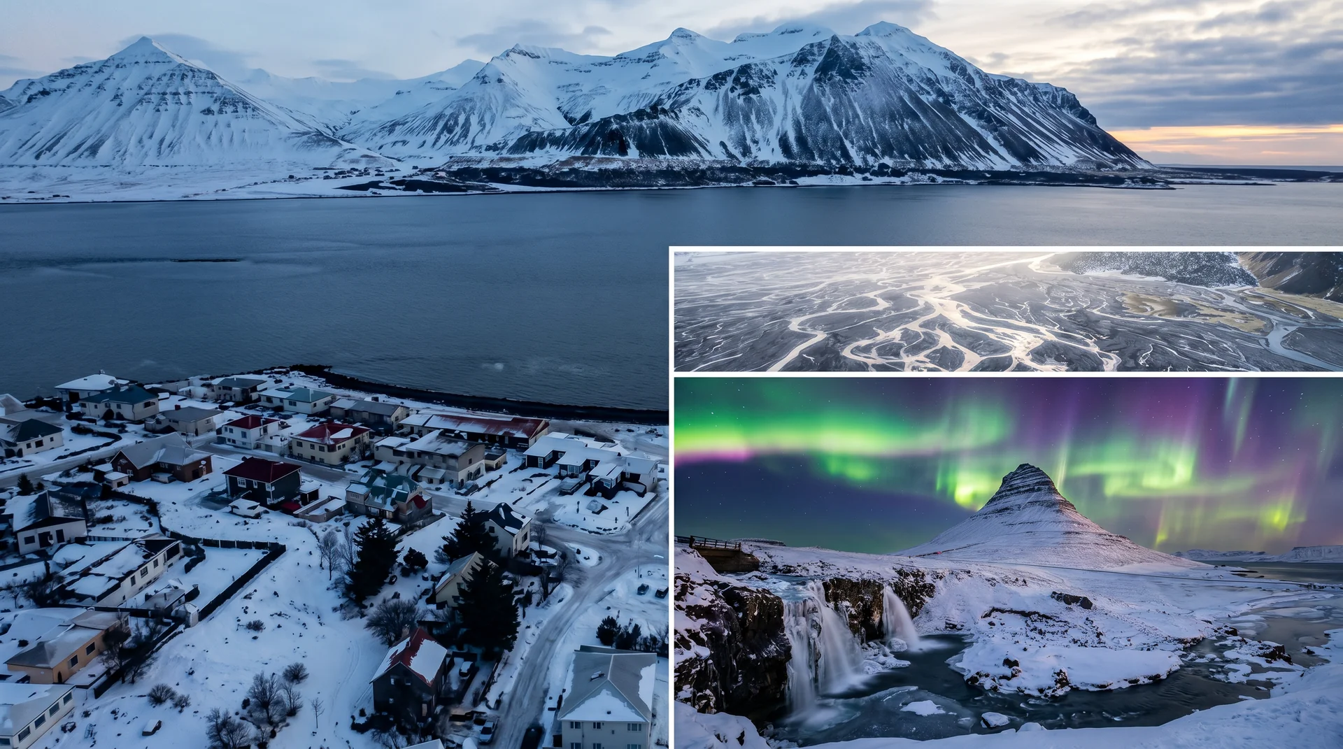
Peak May – September. Winter remains open and rewarding — fewer people, longer blue hours, occasional aurora — but expect closures around storm systems.
Light, shaped by ice.
30 minutes either side of sunset. Iceberg translucency peaks. Long shutter on tripod, ND filter optional.
Soft, even light on Diamond Beach. Best conditions for long exposures of stranded ice.
Clear winter skies, Kp 3+. Arcs reflect in the lagoon. Composition: low and close to ice.
Banned in lagoon May–Oct (boat operations). East shore beach permitted with line-of-sight.
Getting there, calmly.
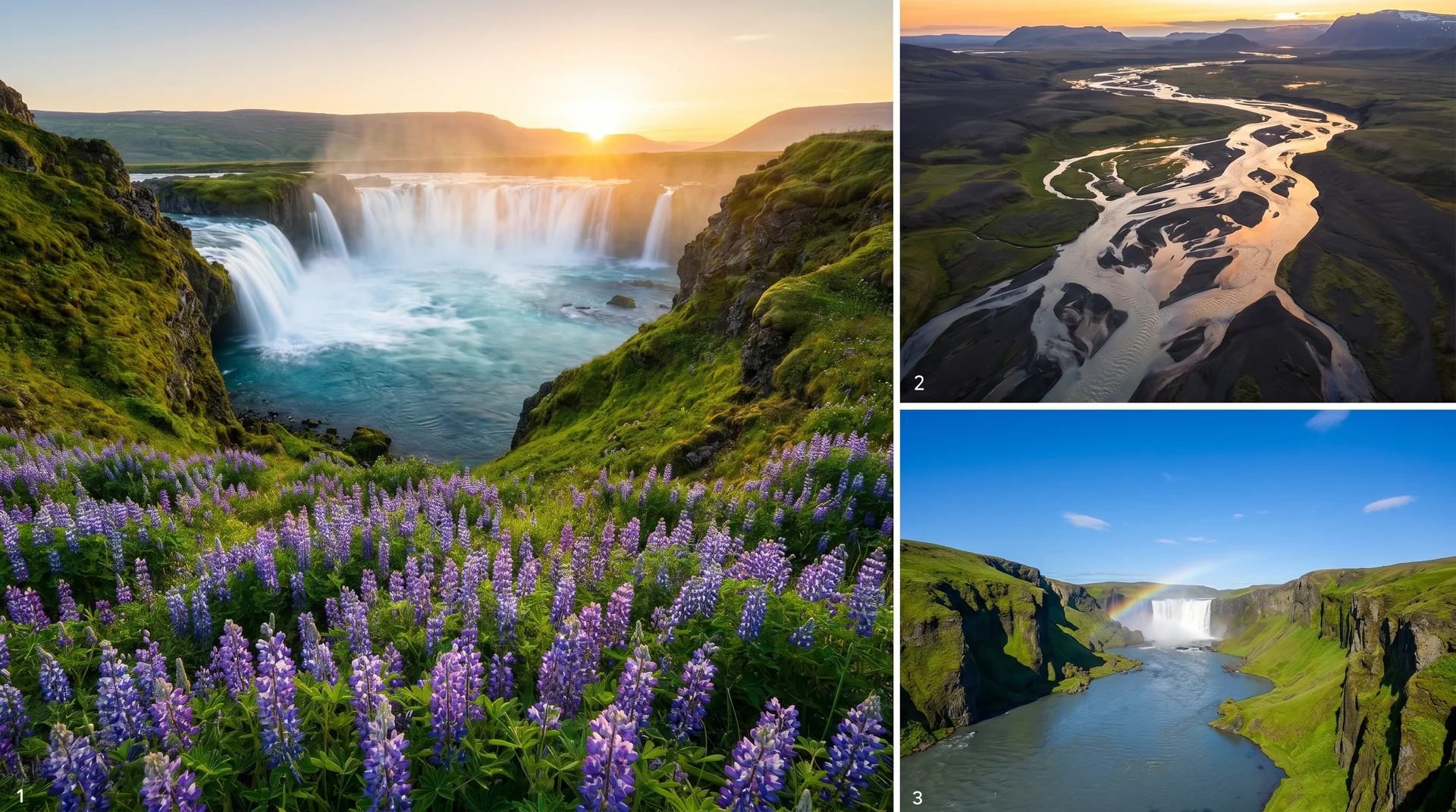
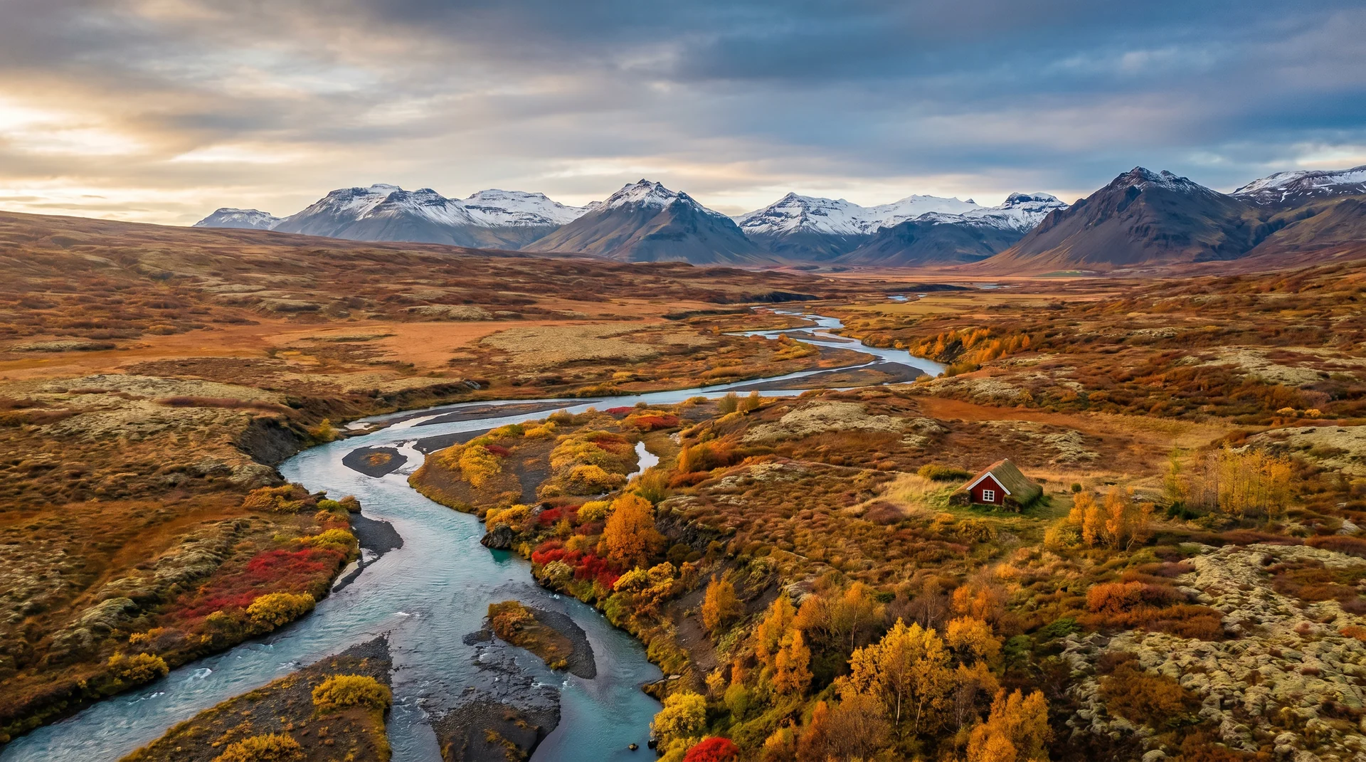
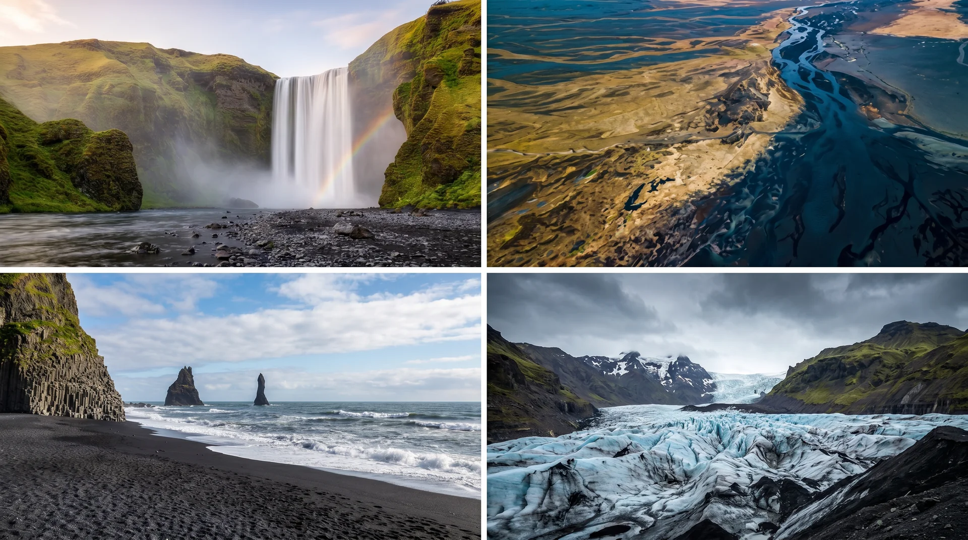
The place, four ways.
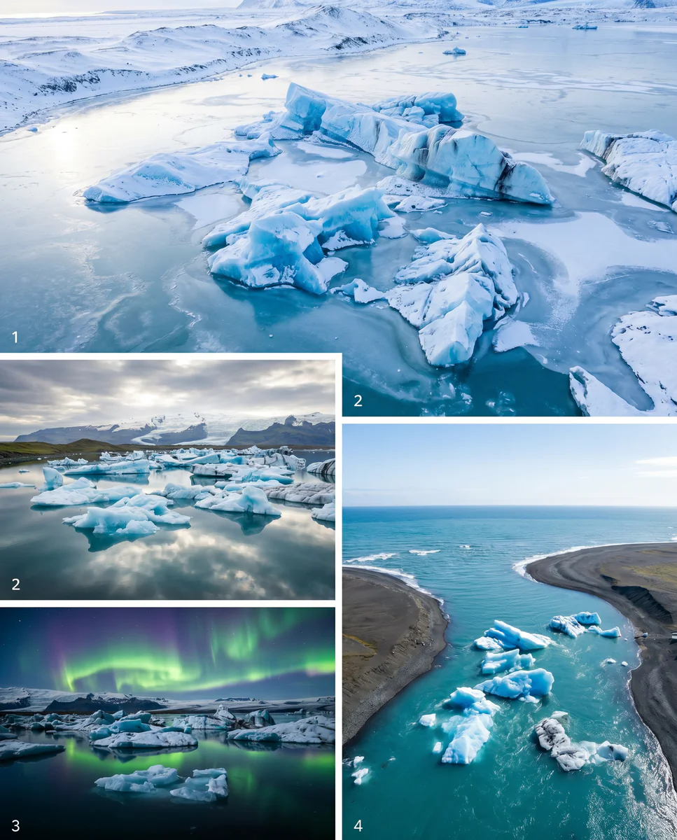
Within an hour.
- Diamond BeachStranded icebergs on black sand
- FjallsárlónSmaller, quieter sister lagoon
- StokksnesVestrahorn mountain reflections
- SkaftafellGlacier hikes · waterfall trails
- HöfnLangoustine town · base for east fjords
It lives on these routes.
Read this place differently.
What the place is doing right now.
Make Jökulsárlón part of your expedition.
Open it inside the Explorer to see it in context with terrain, season, and conditions — or plan a route that passes through.